
Population 500 (2006 census) Postal code 3859 | Postcode(s) 3859 Local time Sunday 12:55 AM | |
 | ||
Location 211 km (131 mi) E of Melbourne28 km (17 mi) NW of Sale9 km (6 mi) W of Maffra Weather 11°C, Wind W at 6 km/h, 77% Humidity | ||
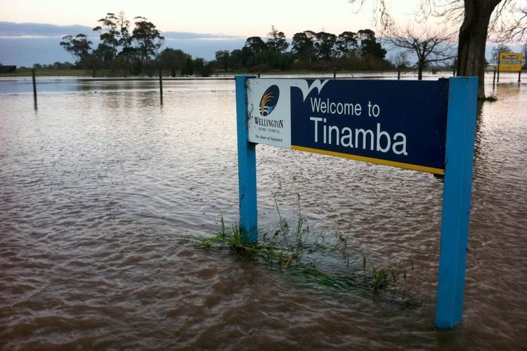
Tinamba is a dairy farming town in Victoria, Australia, located on Traralgon - Maffra Road between Heyfield and Maffra, in the Shire of Wellington. It has a country pub, a church, engineer works and two dilapidated tennis courts. At the 2006 census, Tinamba and the surrounding area had a population of 500. In 2007 Tinamba suffered two 1 in 100-year floods.
Map of Tinamba VIC 3859, Australia
Tinamba Railway Station Post Office opened on 1 July 1887 and was renamed Tinamba around 1895.
References
Tinamba, Victoria Wikipedia(Text) CC BY-SA