
Website Official website Area 135.3 km² Population 5,808 (2014) | Time zone WET (UTC±0) Elevation 195 m Local time Saturday 2:54 PM Postal code 35530 | |
 | ||
Weather 22°C, Wind NE at 37 km/h, 57% Humidity | ||
Tinajo is a municipality in the western part of the island of Lanzarote in the Province of Las Palmas in the Canary Islands, Spain. The population is 5,783 (2013), and the area is 135.28 km². It is located near the north coast, northwest of the island capital Arrecife. The main town in the municipality is Tinajo.
Contents
Map of 35560 Tinajo, Las Palmas, Spain
Communities
Sites of interest
The Timanfaya National Park (created in 1974) covers the southwestern part of the municipality and is where most of its mountains are located. The park features volcanic mountains and rugged lands. The rest of the park is in Yaiza municipality.
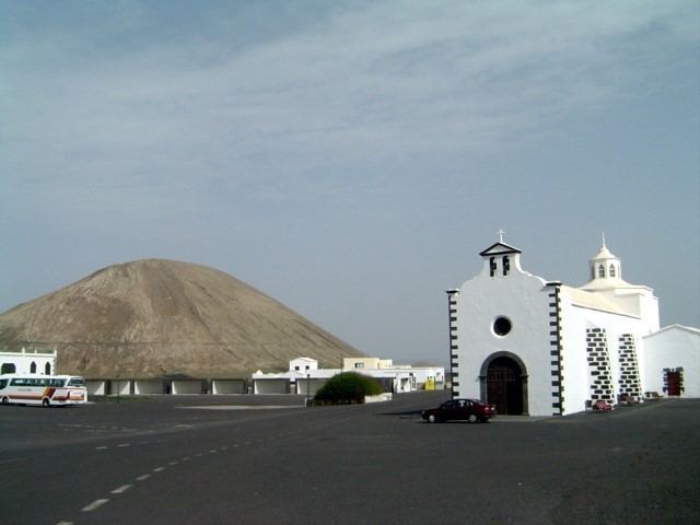
In Mancha Blanca is the chapel of the Virgin of Sorrows (Virgen de los Dolores), the patron saint of the island of Lanzarote.
References
Tinajo (municipality) Wikipedia(Text) CC BY-SA