
Postcode(s) 3465 Postal code 3465 | Local time Saturday 11:19 PM | |
 | ||
Location 179 km (111 mi) NW of Melbourne66 km (41 mi) SW of Bendigo83 km (52 mi) N of Ballarat11 km (7 mi) N of Maryborough, Victoria Weather 12°C, Wind S at 13 km/h, 66% Humidity | ||
Timor is a locality in central Victoria, Australia. The locality is in the Shire of Central Goldfields, 11 kilometres (6.8 mi) north of Maryborough and 179 kilometres (111 mi) north west of the state capital, Melbourne.
Map of Timor VIC 3465, Australia
Now a ghost town, Timor was settled in the Victorian gold rush by prospectors, including Chinese miners. The town was first known as "Cox Town" after the butcher who has earlier constructed a bridge across Bet Bet Creek and built the nearby "Bridge Inn", until it was surveyed under the name "Timor". By 1857, 30,000 miners were resident in the surrounding area and the main street was about a mile (1.6 km) long - including houses, hotels and stores.
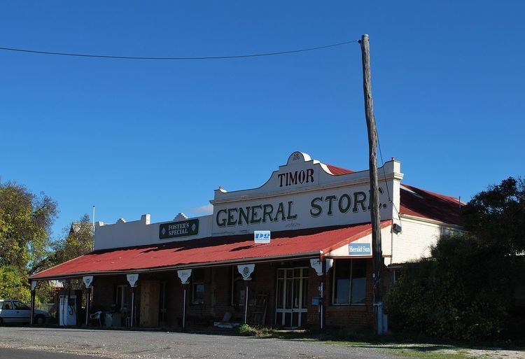
Timor prospered until the collapse of the local mining industry during World War 1. The general store, established in 1852, is one of the oldest shops in the state and a school was established in 1863. The school still operates but the store ceased trading in 1997, after 145 years of continuous operation. The last pub closed in 1963.