
 | ||
The 2004–05 Australian region cyclone season was a near-average season with eleven tropical cyclones occurring within the Australian region south of the equator and from 90°E to 160°E. The season officially ran from 1 November 2004 to 30 April 2005 with pre-season Tropical Cyclone Phoebe forming on 1 September and an unnamed tropical cyclone dissipating on 15 April. This is the period of the year when most tropical cyclones form within the Australian region.
Contents
During the season at least five people were killed from tropical disturbances while overall damage was estimated at $15.4 million (2005 USD; $18.9 million 2017 USD). Severe Tropical Cyclone Harvey caused an estimated $1 million (2005 USD; $1.23 million 2017 USD) in damage in Northern Territory when it made landfall in February. The most damaging storm of the season, Severe Tropical Cyclone Ingrid, killed five people and caused an estimated $14.4 million (2005 USD; $17.7 million 2017 USD) as the first tropical cyclone on record, to bring hurricane force windspeeds to Queensland, Northern Territory, and Western Australia.
Within the Australian region, tropical lows are monitored by the Bureau of Meteorology (BoM), who run Tropical Cyclone Warning Centres (TCWC) in Perth, Darwin and Brisbane. There is also a TCWC in Port Moresby in Papua New Guinea. These TCWCs issue warnings for tropical lows between 90°E and 160°E. The United States Joint Typhoon Warning Center (JTWC) issues unofficial warnings within the Australian region, designating tropical cyclones with the P suffix when they form to the east of 135°E and S when they form to the west of 135°E. The Bureau of Meteorology and TCWC Port Moresby both use the Australian Tropical Cyclone Intensity Scale, and measure windspeeds over a period of ten minutes, while the JTWC measures sustained winds over a period of one minute and uses the Saffir–Simpson Hurricane Scale. This timeline includes information from post-storm reviews by the Bureau of Meteorology, TCWC Port Moresby, and the JTWC. It documents tropical cyclone formations, strengthening, weakening, landfalls, extratropical transitions, and dissipations during the season. Reports among warning centers often differ; as such, information from all three agencies has been included.
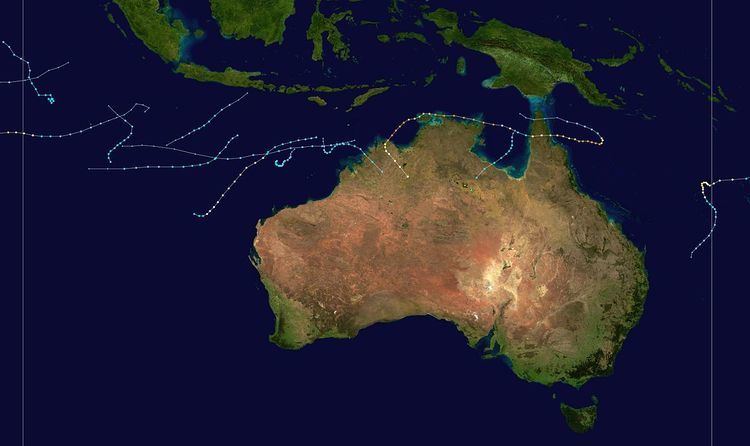
All data for the timeline graphic is taken from the Australian Bureau of Meteorology.
All data for the timeline graphic is taken from the Australian Bureau of Meteorology.