Country Canada Founded 1910 Area 68 ha Area code Area code 403 | Incorporated (village) May 9, 1940 Population 352 (2011) Local time Friday 6:38 PM | |
 | ||
Weather 12°C, Wind S at 21 km/h, 40% Humidity | ||
Tilley is a hamlet in southern Alberta, Canada. It is located within the County of Newell approximately 22 km southeast of the City of Brooks and 78 km northwest of the City of Medicine Hat.
Contents
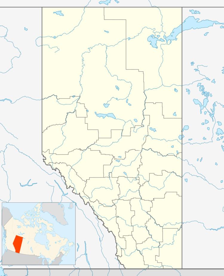
Map of Tilley, AB, Canada
History
Founded in 1910 during the construction of the Canadian Pacific Railway main line, Tilley was incorporated as a village on May 9, 1940. It dissolved from village status on August 31, 2013 to become a hamlet under the jurisdiction of the County of Newell.
Demographics
As a designated place in the 2016 Census of Population conducted by Statistics Canada, Tilley recorded a population of 364 living in 139 of its 149 total private dwellings, a change of 3.4% from its 2011 population of 352. With a land area of 0.7 km2 (0.27 sq mi), it had a population density of 520.0/km2 (1,346.8/sq mi) in 2016.
In the 2011 Census, Tilley had a population of 352 living in 134 of its 146 total dwellings, a -7.6% change from its 2006 population of 381. With a land area of 0.68 km2 (0.26 sq mi), it had a population density of 517.6/km2 (1,340.7/sq mi) in 2011.
The population of Tilley according to its 2007 municipal census is 405.
Economy
Tilley's main industries are agriculture (irrigated crop farming and livestock operations) and petroleum.
Attractions
Amenities within Tilley include an arena, a curling rink, a community hall, and three parks.
Education
Tilley Public School, operated by Grasslands Public Schools, serves students in kindergarten through grade 9.
