
- elevation 744 ft (227 m) Length 27 km Basin area 158 km² | - elevation 0 ft (0 m) Basin area 158 km² | |
 | ||
Source Northern Oregon Coast Range | ||
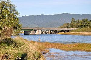
The Tillamook River is a stream, about 17 miles (27 km) long, near the coast of northwest Oregon in the United States. It drains an oceanside valley in the foothills of the Northern Oregon Coast Range west of Portland and empties into the Pacific Ocean via Tillamook Bay. It is one of five rivers—the Tillamook, the Trask, the Wilson, the Kilchis, and the Miami—that flow into the bay.
Contents
Map of Tillamook River, Oregon, USA
Rising in southern Tillamook County about 4 miles (6.4 km) east of Cape Lookout, it flows initially east, then generally north, through a long broadening farming valley, passing west of Tillamook and entering the south end of Tillamook Bay. For its lower 1 mile (1.6 km), it shares a channel with the Trask River.
Although much of the upper watershed of about 61 square miles (160 km2) is forested, much of the lower valley consists of drained pasture land. Home of the Tillamook County Creamery Association, the county has been called "a natural cow pasture" by Sunset Magazine".
TributariesEdit
Named tributaries from source to mouth are Mills, Munson, Joe, Simmons, Fawcett, Killam, and Bewley creeks. Then come Sutton, Beaver, Anderson, Fagan, Esther, Tomlinson, Memaloose, and Dick creeks.