
Location Far North Max. width 17 km (11 mi) | Max. length 21 km (13 mi) | |
 | ||
River sources Sogo River, Yuryage River | ||
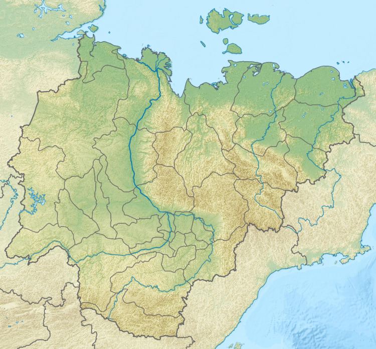
Tiksi Bay (Russian: Бухта Тикси, Bukhta Tiksi) is a bay of the Laptev Sea that cuts into the northern part of the Sakha Republic, Russia.
Contents
Map of bukhta Tiksi, Russia
Geography
It is up to 21 km long, 17 km wide and has a depth of 2 to 11 metres. The Sogo and Yuryage Rivers discharge into the bay.
The port of Tiksi lies on the west side.
Semidiurnal tides in the Kola Bay are about 0.3 metres. In winter the bay is clogged by ice.
References
Tiksi Bay Wikipedia(Text) CC BY-SA