
Country New Zealand Time zone NZST (UTC+12) Population 207 (2006) Area code 06 | Postcode 4087 Local time Saturday 11:25 AM Mayor Meng Foon | |
 | ||
Weather 23°C, Wind N at 6 km/h, 70% Humidity | ||
Tikitiki is a small town in Waiapu Valley on the north bank of the Waiapu River in the Gisborne Region of the North Island of New Zealand. The area in which the town resides was formerly known as Kahukura. By road, Tikitiki is 145 km (90 mi) north-northeast of Gisborne, 20 km (12 mi) northeast by north of Ruatōria, and 24 km (15 mi) south by east of Te Araroa. The name of the town comes from the full name of Māui, Māui-tikitiki-a-Taranga (Māui wrapped in the topknot of Taranga). State Highway 35 passes through the town at the easternmost point of the New Zealand State Highway network.
Contents
Map of Tikitiki, New Zealand
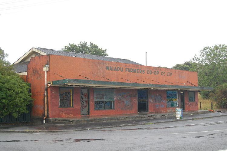
The town is 6 km (3.7 mi) from the smaller town of Rangitukia, near the mouth of the Waiapu River. These towns historically had a racecourse, four rugby teams, and several shops fuelled by a thriving dairy industry. In the 1950s and 1960s the towns had a combined population of 6,000, but economic downturn in the area in the mid to late 1960s led to urban drift, and 2011 figures put the population of both towns at 528. 95% of the towns' inhabitants identify as Māori. Most people in these towns are either homemakers, or employed in the roading, forestry, farming, or food industries, or as office workers.
Landmarks
According to Te Ara - the Encyclopedia of New Zealand "Tikitiki’s jewel" is St. Mary's church. It is non-denominational but has historic links to the Anglican Church and is therefore essentially an Anglican. Built from 1924 to 1926 under the guidance of Sir Āpirana Ngata to remember the Ngāti Porou soldiers who fought and died in World War I, and to commemorate the establishment of Christianity in Waiapu Valley and the East Coast. The church, which integrates Māori architecture into its design, contains references to the fallen soldiers within its extensive carvings, tukutuku, and stained glass windows. St Mary's church is of great spiritual and historical significance to Ngāti Porou, and is classified as a Category I Historic Place by Heritage New Zealand.
Above and behind the church is a hill containing the remains of a fortified pā called Pukemaire. The pā dates back to pre-European times, and by 1865 was occupied by followers of the syncretic Christian Māori religion, Pai Mārire. That year, as part of the New Zealand Wars, the pā was attacked by both colonial forces and Ngāti Porou forces loyal to the New Zealand Government (called kūpapa). This was one of the last confrontations between Pai Mārire and Ngāti Porou. While the majority of the area inside the pā's defensive perimeter has been ploughed many times, the eastern end behind St Mary's Church has been left intact, where the remains of kūmara storage pits can be seen.
Education
Tikitiki has a co-educational full primary school called Tikitiki School or Pae-O-Te-Riri School. The name Pae-O-Te-Riri means "Resting place of a war party on the march". The school was opened in 1887 as a Māori school, and originally had approximately 300 students. This number has dropped substantially, and in May 2012, the school roll stood at 27 students.