
Topo map USGS Badger Spring Elevation 2,412 m | Easiest route Hike Prominence 282 m | |
 | ||
Similar Harris Mountain, McFarland Peak, Hayford Peak, Mormon Peak, Gass Peak | ||
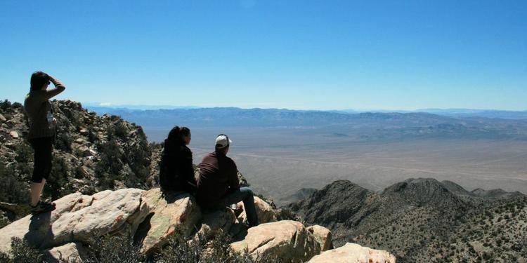
Tikaboo Peak is a mountain in Lincoln County, Nevada, United States 26 miles (42 km) to the east of Area 51. It is the closest legal vantage point with a view of the area.
Map of Tikaboo Peak, Nevada 89001, USA
Tikaboo Peak is used because the government closed two closer vantage points to Area 51—Freedom Ridge and White Sides—to public access in 1995, due to the number of people photographing or filming the base from these sites.
References
Tikaboo Peak Wikipedia(Text) CC BY-SA