
Isolation 1.70 mi (2.74 km) Prominence 220 m | Elevation 4,147 m | |
 | ||
Topo map USGS 7.5' topographic mapCrestone Peak, Colorado Similar Columbia Point, Broken Hand Peak, Red Mountain, Ellingwood Point, Humboldt Peak | ||
Tijeras peak
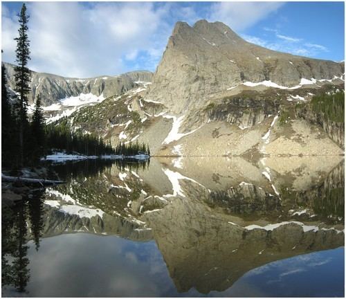
Tijeras Peak is a high mountain summit in the Sangre de Cristo Range of the Rocky Mountains of North America. The 13,610-foot (4,148 m) thirteener is located 9.8 miles (15.8 km) southeast by east (bearing 120°) of the Town of Crestone in Saguache County, Colorado, United States, on the boundary between the Great Sand Dunes Wilderness in Great Sand Dunes National Preserve and the Sangre de Cristo Wilderness in Rio Grande National Forest. Tijeras Peak is the highest summit in Great Sand Dunes National Park and Preserve. Tijeras is Spanish for scissors, and refers to the double-pronged rocky tip of the mountain.
Contents
Map of Tijeras Peak, Colorado 81252, USA
Historical namesEdit
References
Tijeras Peak Wikipedia(Text) CC BY-SA