
Foundation 1598 Website Official Website Area 828.3 km² | Time zone CST (UTC-6) Founded 1598 | |
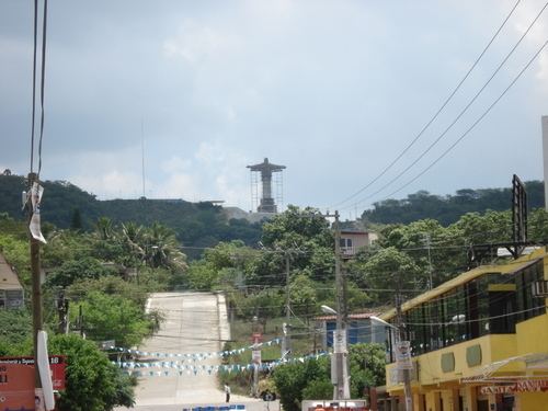 | ||
Tihuatlán Municipality is a municipality located in the north zone in the State of Veracruz, about 316 km from state capital Xalapa. It has a surface of 828.29 km2. The name comes from the language Náhuatl, Cihua-tlán; that means “Women’s place " but refers to gods.
Contents
Geographic limits
Tihuatlán Municipality is delimited to the north by Temapache Municipality and Tuxpan Municipality, to the east by Papantla Municipality, Poza Rica Municipality and Cazones de Herrera Municipality to the south by Coatzintla Municipality and to the south-west by Puebla State. It is watered by the rivers Cazones and Tontepec, which end in the gulf of Mexico.
Agriculture
It produces principally maize, beans, green chile and orange fruit.
Celebrations
In Tihuatlán, in October takes place the celebration in honor of Saint Francis of Assisi, Patron of the town, and in December takes place the celebration in honor to the Virgin of Guadalupe.
Transportation
El Tajín National Airport is located in Tihuatlán.
Weather
The weather in Tihuatlán is warm and wet all year with rains in summer and autumn.