
Parent peak A' Chruach OS grid NR997274 Elevation 458 m Listing Marilyn | Translation ??? (Gaelic) Topo map OS Landranger 69 Prominence 181 m | |
 | ||
Similar Caisteal Abhail, Beinn Tarsuinn, Cìr Mhòr, Goat Fell, Beinn Bhreac | ||
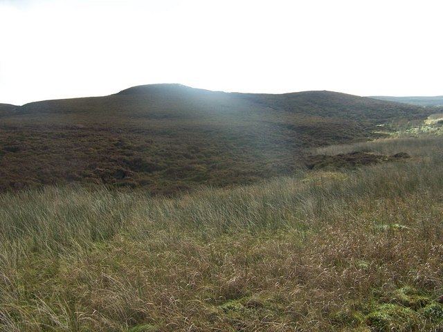
Tighvein is a hill above Lamlash on the Isle of Arran in western Scotland. It is a Marilyn (a hill with topographic prominence of at least 150m) and the highest point on the south-eastern section of the island, south-east of the pass of Monambre Glen. Two miles from the nearest road, the top is a heathery, boggy moor, almost entirely ringed by thick forestry plantations. For this reason it is rarely climbed; there are no paths to the top.
Map of Tighvein, Isle of Arran, UK
References
Tighvein Wikipedia(Text) CC BY-SA