Population 2,012 (2011 census) Postcode(s) 4709 Founded 1983 Local time Saturday 5:46 AM | Established 1983 Postal code 4709 | |
 | ||
Location 917 km (570 mi) NW of Brisbane328 km (204 mi) W of Rockhampton85 km (53 mi) NE of Emerald36 km (22 mi) E of Capella Weather 14°C, Wind SW at 8 km/h, 82% Humidity | ||
Tieri /tiˈɛəri/ is a small mining town and locality in the Central Highlands Region, Queensland, Australia. Established in 1983, the town like nearby Middlemount and Dysart, is a service centre for local coal mines. At the 2011 census, Tieri had a population of 2012.
Contents
- Map of Tieri QLD 4709 Australia
- Geography
- Education
- Amenities
- Notable residents
- Heritage listings
- References
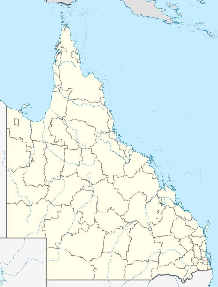
Map of Tieri QLD 4709, Australia
Geography
The German Creek (towards Middlemount), Oaky Creek Coal No.1 & North and Gregory Crinum mines (Emerald) are close to Tieri.
Education
Tieri State School opened on 24 January, 1983. The school motto is 'Strive for Success'. Their Annual Report states the school is coeducational and has 187 students enrolled.
Amenities
According to an early resident there were no facilities when people moved to the town. There were no shops and a bank visited once a week. Tieri now has a whole range of shops for a mining town. Tieri has bush trails for mountain, quad and dirt bikes. The nearest purpose built motorcross track is in Middlemount approximately 40 km away.
Notable residents
Former Borussia Dortmund goalkeeper Mitchell Langerak hails from Tieri.
Heritage listings
Tieri has a number of heritage-listed sites, including:
