
State Paraná Area 3,109 km² | Region Southern Time zone UTC -3 | |
 | ||
Mesoregion Centro Oriental Paranaense Points of interest Guartelá Canyon, Fazenda Safari, Cachoeira Puxa Nervos, cachoeira ponte de pedra, MUSEU HISTÓRICO DES ED | ||
Tibagi e miltinho no viola minha viola em 1980
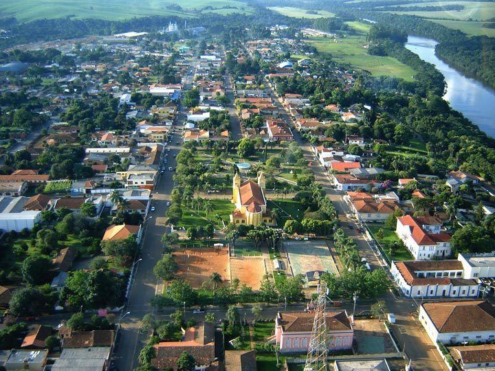
Tibagi is a municipality in the state of Paraná in the Southern Region of Brazil.
Contents
Map of Tibagi - Paran%C3%A1, Brazil
Second largest municipality of Paraná in land, Tibagi expands over an area of over 200 square kilometres (77 sq mi). With the vast territory, its economy is based on agriculture and it is considered the largest wheat producer in Brazil and also stands out as one of the largest producer sin the cultivation of grains such as corn, beans and soybeans.
Tourism is part of the largest local economic strengths, from the famous Carnival, to the natural beauties of lapo river and the (Guartelá Canyon) which is considered to be the 6th largest canyon in the world, besides rivers, waterfalls, and hills. For these features Tibagi is the favorite destination of many extreme sports fans who like rafting mountain climbing, parasailing and others.
The municipality contains the 799 hectares (1,970 acres) Guartelá State Park, created in 1992 to protect the scenic Guartelá Canyon of the Iapó River.