
Elevation 75 m Population 36,502 (2015) | Foundation November 3, 1977 Area 2,696 km² Local time Friday 12:54 PM | |
 | ||
Weather 29°C, Wind N at 10 km/h, 65% Humidity | ||
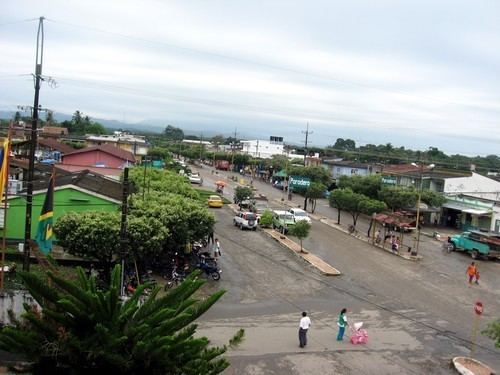
Tibú is a Colombian municipality and town located in the department of North Santander.
Contents
- Map of TibC3BA North Santander Colombia
- History
- Colombian Armed Conflict 1960s present
- Geography
- References
Map of Tib%C3%BA, North Santander, Colombia
History
The area of present-day Tibú was established as a camp basement by oil companies who first arrived in the area in 1945. On March 8, 1945 the Council of Cúcuta approved the creation of the corregimiento of Tibu. The Catholic Church also established the San Luis Beltran Mission and later on May 25, 1952 established the parish. The church greatly contributed to the development of the village by designing the first streets and distributing lots for the first houses and the cathedral.
It was erected municipality later on January 1, 1977 in the midst of the jungle of the Catatumbo Region an almost human inhospitable land between Colombian and Venezuela.
Colombian Armed Conflict 1960s-present
The town and municipalities were hardly hit by the Colombian civil war. The area has been a constant dispute between government forces, the guerrillas of the FARC and ELN and paramilitary groups. On June 16, 1996 AUC members perpetrated the Gabarra Massacre while struggling for control of the area with insurgents.
Geography
The municipality of Tibú borders to the east with the Bolivarian Republic of Venezuela, to the south with the municipalities of Cúcuta and Sardinata, to the west with El Tarra and San Calixto and to the northwest with Teorama.