
Population 10,596 (2011) Region East Midlands Sovereign state United Kingdom Dialling code 0116 Post town Leicester | Unitary authority Country England Postcode district LE5 Ceremonial county Leicestershire UK parliament constituency Leicester East | |
 | ||
Police raid thurncourt road thurnby lodge lol
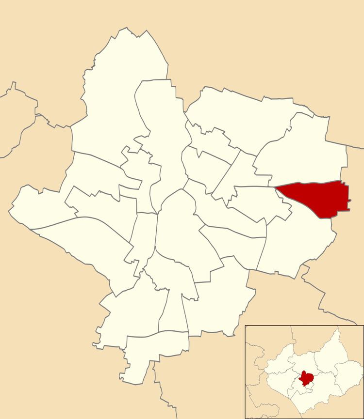
Thurncourt is an electoral ward and administrative division of the city of Leicester, England. The population of the ward at the 2011 census was 10,596. It comprises the suburb and housing estate of Thurnby Lodge in eastern Leicester.
Contents
- Police raid thurncourt road thurnby lodge lol
- Peace centre food bank wed 22 03 17 thurncourt rd thurnby lodge
- Geography
- History
- Amenities and facilities
- Education
- Transport
- References
Peace centre food bank wed 22 03 17 thurncourt rd thurnby lodge
Geography
Thurncourt is bounded by the wards of Evington to the south, and Humberstone & Hamilton to the north. Roughly, it consists of the area inside the city boundary which is north of the Uppingham Road, east of the A563 outer ringroad, and south of the Scraptoft Lane.
The area south of the main shops on Thurncourt Road, towards the parallel railway embankment, was originally mainly unlandscaped country land with a natural stream running through it. The stream divides at a point opposite Thurncourt Road shops into two further tributaries, one which continues on towards the city and the other taking a route southwards under tunnels beneath the railway embankment. This natural area was extensively landscaped in several phases by the Leicester City Council and a floodplain added up until the present day, destroying a natural fertile habitat for the then common water voles and small fresh water fish found within the habitat.
It is near but not part of Thurnby (to the south-east), after which it is named. Other nearby places are Humberstone (north and west), Scraptoft (east), Evington (south) and Goodwood, Leicestershire (south).
History
Thurnby Lodge is a council estate built from the early 1950s onwards to facilitate the central Leicester slum clearance until the 1960s. The area west of Bowhill Grove was the last phase of the estate stretching to Nursery Road at its most westerly point. Two, three and four-bedroomed council houses were built in brick and concrete block, terraced with large rear and smaller front gardens.
Many of the houses on the estate have transferred to private ownership under the right to buy, resulting in a large variety of upgrades and extensions to the original council properties.
Amenities and facilities
The popular public houses the Stirrup Cup on Thurncourt Road and The Mayflower on Ocean road have transformed into pleasant family pubs, the Stirrup Cup offers a really good traditional pub lunch. At its northerly point the White House Inn on Scraptoft Lane is the largest public house.
Education
Children on the estate attended Thurnby lodge school, Willowbrook Primary school whose sister and identical architectural school, Scraptoft Valley Primary school was on the adjoining Netherhall Estate.
Transport
The estate was serviced by Midland Red buses, routes L37 and L38 whose terminus were on Thurncourt Road opposite the shops.
Buses that currently serve the area are: Arriva Fox County services 53/53a, 56, First Leicester services 38/38a and Centrebus services 40 (circle line) and 747