
Country United States County Chase GNIS ID 482064 Area code 620 | Time zone CST (UTC-6) Elevation 425 m | |
 | ||
Weather 6°C, Wind N at 14 km/h, 93% Humidity | ||
History
Founded in 1874, it experienced a period of decline that concluded in its abandonment in 1944. In 1900, the community was composed of over fifty households, and it included a post office, stores, schools, and a church.
A post office existed in Thurman from August 24, 1874 to January 31, 1909.
Geography
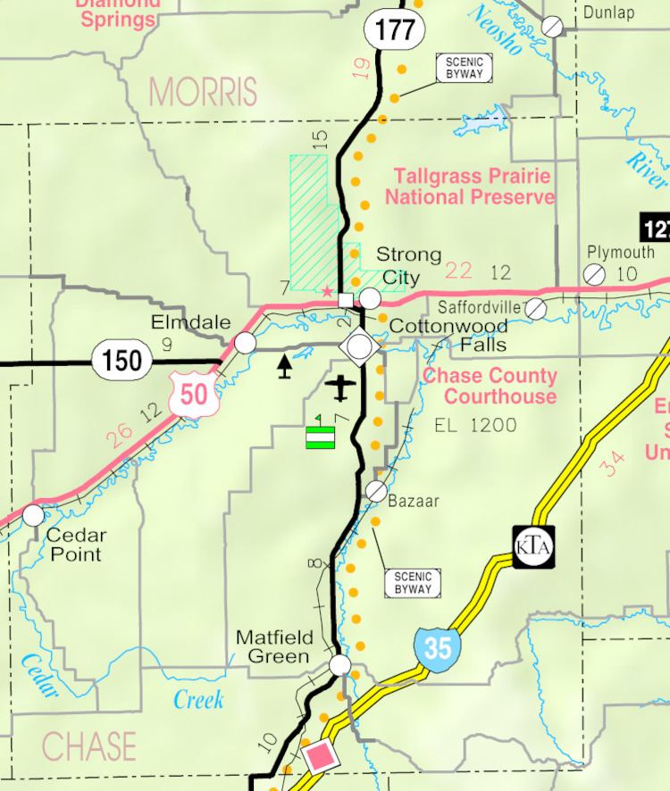
The elevation of the Thurman site is 1,394 feet (425 m), and it is located at 38°6′3″N 96°31′1″W (38.1008519, -96.5169547), in the southeastern part of the county. Today, the site is located in southern Matfield Township.
References
Thurman, Kansas Wikipedia(Text) CC BY-SA