
Country United States County Chase Elevation 434 m Population 155 (2000) | GNIS feature ID 0477823 Area 317.1 km² Local time Tuesday 11:37 PM | |
 | ||
Weather -3°C, Wind E at 8 km/h, 79% Humidity | ||
Matfield Township is a township in Chase County, Kansas, United States. As of the 2000 census, its population was 155.
Contents
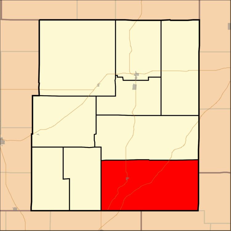
Map of Matfield, KS, USA
Geography
Matfield Township covers an area of 122.42 square miles (317.1 km2). The streams of Bull Creek, Camp Creek, Corn Creek, Crocker Creek, Jack Creek, Little Cedar Creek, Mercer Creek, Shaw Creek, Steak Bake Creek and Thurman Creek run through this township.
Communities
The township contains the following settlements:
Cemeteries
The township contains the following cemeteries:
References
Matfield Township, Chase County, Kansas Wikipedia(Text) CC BY-SA