
Country Thailand Time zone THA (UTC+7) Area 1,042 km² Geocode 8009 | Seat Pak Phraek Postal code 80110 Population 151,563 (2009) | |
 | ||
Province Nakhon Si Thammarat Province | ||
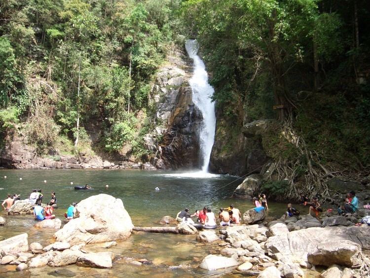
Thung song district nakorn sri thammarat
Thung Song (Thai: ทุ่งสง) is a district (Amphoe) in the southwestern part of Nakhon Si Thammarat Province, southern Thailand.
Contents
- Thung song district nakorn sri thammarat
- Map of Thung Song District Nakhon Si Thammarat Thailand
- Geography
- Administration
- References
Map of Thung Song District, Nakhon Si Thammarat, Thailand
Geography
Neighboring districts are (from the west clockwise) Bang Khan, Thung Yai, Na Bon, Chang Klang, Lan Saka, Ron Phibun, Chulabhorn, Cha-uat of Nakhon Si Thammarat Province, Huai Yot and Ratsada of Trang Province.
Administration
The district is subdivided into 13 subdistricts (tambon), which are further subdivided into 125 villages (muban). Thung Song is a town (thesaban mueang) covering the whole tambon Pak Phraek. There are a further 12 Tambon administrative organizations (TAO).
References
Thung Song District Wikipedia(Text) CC BY-SA