
Local time Friday 6:39 AM | ||
 | ||
Weather 10°C, Wind S at 21 km/h, 96% Humidity | ||
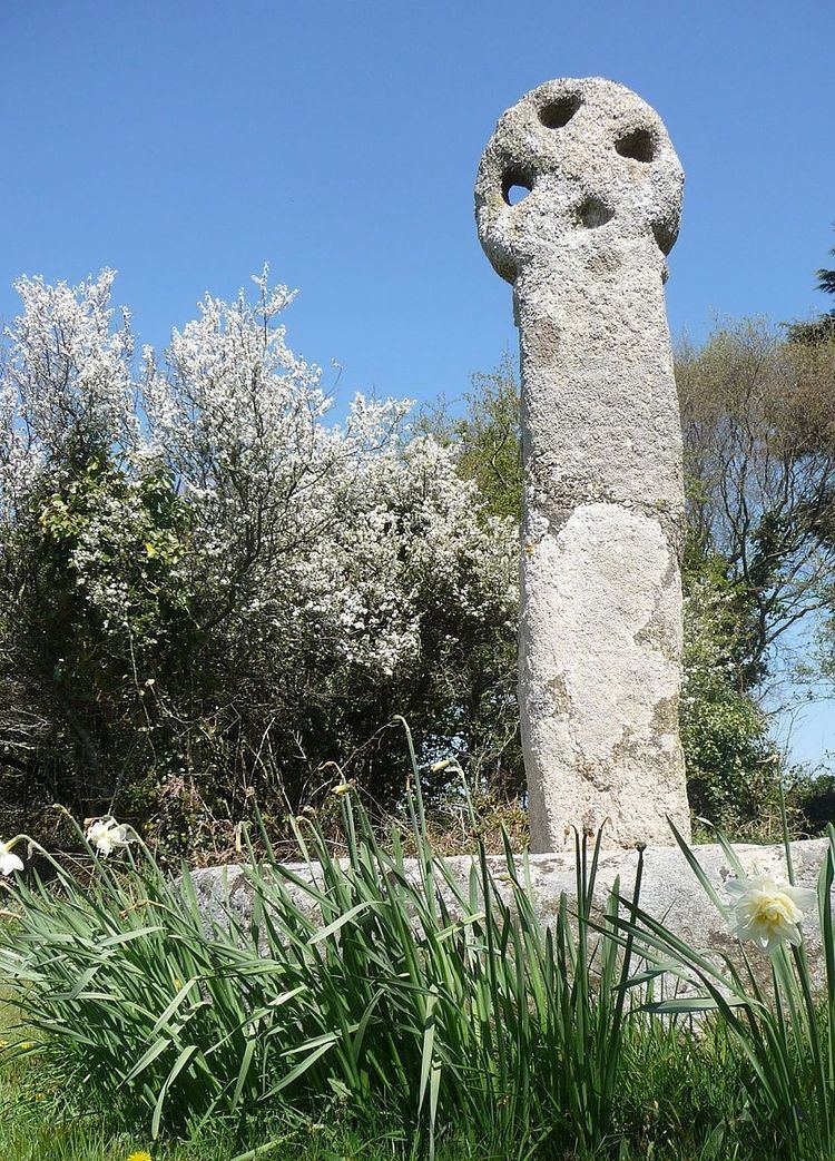
Three Holes Cross is a crossroads on the A39 trunk road approximately 2 miles east of Wadebridge, Cornwall, United Kingdom at grid reference SX 012 736. The name is derived from the Cornish cross sited there. There is a settlement of a few houses nearby. The nearest house, a little way away from the cross was formerly the toll house in olden days to allow passage to Wadebridge.
An Iron Age fort known locally as Kelly Rounds (but mapped by Ordnance Survey as Castle Killibury) is situated 300 metres west of Three Holes Cross.
References
Three Holes Cross Wikipedia(Text) CC BY-SA