
Country India District Nellore Vehicle registration AP Local time Friday 9:07 AM | State Andhra Pradesh Time zone IST (UTC+5:30) Elevation 4 m | |
 | ||
Weather 31°C, Wind SE at 10 km/h, 68% Humidity | ||
Thotapalligudur is a village and a Mandal in Nellore district in the state of Andhra Pradesh in India.
Contents
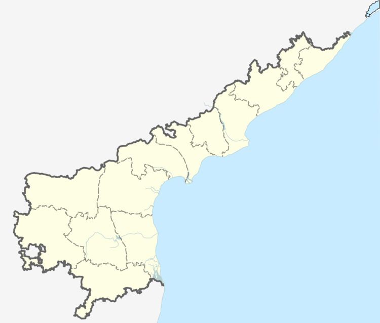
Map of Thotapalli Gudur, Andhra Pradesh 524311
Geography
Totapalligudur is located at 14.3833°N 80.1000°E / 14.3833; 80.1000. It has an average elevation of 4 meters (16 feet).
Panchayats
There are 22 panchayats in Thotapalligudur mandal.
References
Thotapalligudur Wikipedia(Text) CC BY-SA