
OS grid reference SE837440 Sovereign state United Kingdom Postcode district YO42 Dialling code 01430 | Post town YORK Local time Friday 4:10 AM | |
 | ||
Weather 13°C, Wind SE at 13 km/h, 77% Humidity | ||
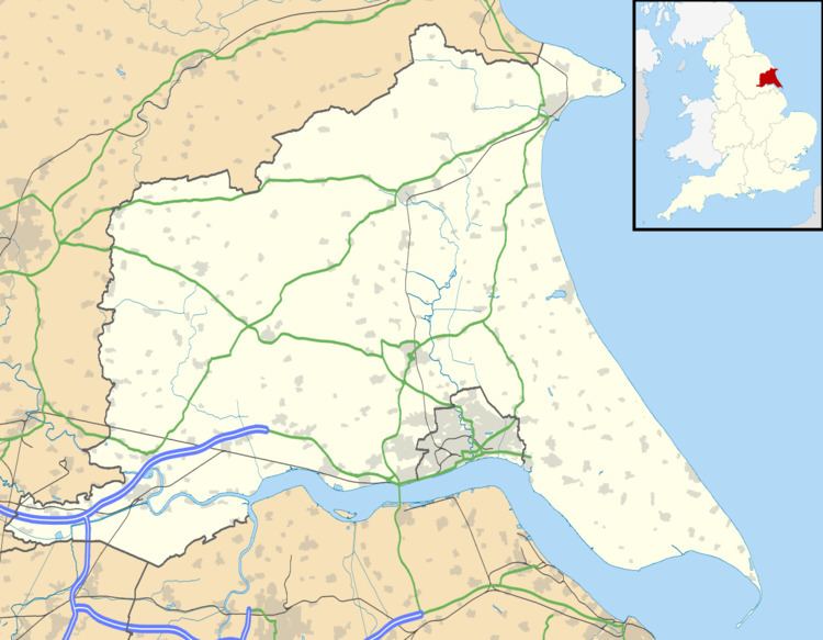
Thorpe le Street is a hamlet in the East Riding of Yorkshire, England. It is situated approximately 3.5 miles (5.6 km) south-east of the market town of Pocklington and 3 miles (4.8 km) north-west of the market town of Market Weighton. It lies to the south of the A1079 road.
Map of Thorpe le Street, York, UK
It forms part of the civil parish of Hayton and Burnby.
References
Thorpe le Street Wikipedia(Text) CC BY-SA