
OS grid reference SE819457 Postcode district YO42 Dialling code 01759 | Post town YORK Local time Saturday 12:15 PM | |
 | ||
Weather 13°C, Wind W at 27 km/h, 74% Humidity | ||
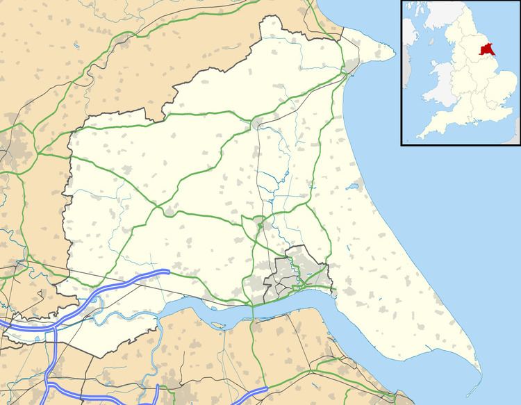
Hayton is a village in the East Riding of Yorkshire, England. It is situated approximately 2 miles (3 km) south of the market town of Pocklington and 4.5 miles (7 km) north-west of the market town of Market Weighton. It lies on the A1079 road.
Map of Hayton, York, UK
Hayton forms part of the civil parish of Hayton and Burnby.
The church dedicated to St Martin was designated a Grade I listed building in 1967 and is now recorded in the National Heritage List for England, maintained by Historic England.
In 1823 Hayton was a village and a Civil parish in the Wapentake of Harthill. The ecclesiastical parish was Hayton-cum-Beilby, with the parish incumbent living under the patronage of the Dean of York. Population at the time was 177. Occupations included twelve farmers, a blacksmith, a wheelwright, a corn miller, a shoemaker, and the landlord of The White Horse public house.