
Country Thailand Time zone THA (UTC+7) Area 745.4 km² Province Uttaradit Province | Seat Bo Thong Postal code 53230 Population 33,042 (2005) Geocode 5309 | |
 | ||
Thong Saen Khan (Thai: ทองแสนขัน; [tʰɔ̄ːŋ sɛ̌ːn kʰǎn]) is a district (Amphoe) in the southern part of Uttaradit Province, northern Thailand.
Contents
Map of Thong Saen Khan District, Uttaradit, Thailand
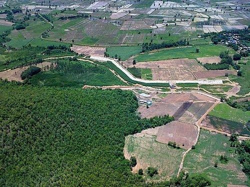
Geography
Neighboring districts are (from the southwest clockwise) Phichai, Tron, Mueang Uttaradit, Tha Pla, Nam Pat of Uttaradit Province, Chat Trakan and Wat Bot of Phitsanulok Province
History
The minor district (King Amphoe) was created on July 1, 1983, when four tambon were split off from Tron district. It was upgraded to a full district on May 21, 1990.
Administration
The district is subdivided into 4 subdistricts (tambon), which are further subdivided into 45 villages (muban). The township (thesaban tambon) Thong Saen Khan covers parts of tambon Bo Thong. There are further 4 Tambon administrative organizations (TAO).
References
Thong Saen Khan District Wikipedia(Text) CC BY-SA