
Phone +66 81 382 0359 | Area 1,120 km² | |
 | ||
Address อุทยานแห่งชาติทองผาภูมิ ตู้ ปณ.18, อ. ทองผาภูมิ จ. กาญจนบุรี, 71180 71180, Thailand Similar อาร์มโฮมส, น้ำตกจ๊อก, เหมืองปิล็อก, Patrol Police Office, Sai Yok National Park | ||
Thong pha phum national park kanchanaburi thailand
Thong Pha Phum National Park (Thai: อุทยานแห่งชาติทองผาภูมิ) is a national park in Kanchanaburi Province, Thailand. The park, located on the border with Burma, is part of the Western Forest Complex protected area.
Contents
- Thong pha phum national park kanchanaburi thailand
- GeographyEdit
- HistoryEdit
- AttractionsEdit
- FaunaEdit
- References
GeographyEdit
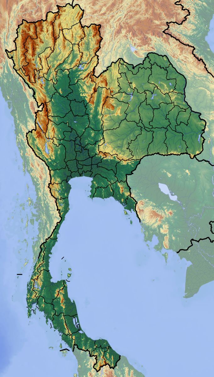
Thong Pha Phum National Park is located about 200 kilometres (120 mi) northwest of Kanchanaburi town and 62 kilometres (39 mi) west of Thong Pha Phum in Si Sawat and Thong Pha Phum districts. The park's area is 1,120 square kilometres (430 sq mi).
Khao Chang Phueak is the park's highest peak. Nern Sao Thong mountain marks the Thailand - Burma border with a Thailand flag at the peak. On a clear day, the Andaman Sea may be visible from here.
HistoryEdit
Thong Pha Phum National Park was formerly the site of tin and tungsten mines.
AttractionsEdit
The park has numerous waterfalls and caves. Jok Ka Din waterfall descends 30 metres (98 ft) over a cliff near the border village of E-Thong. Another large waterfall is Khao Yai, with three levels. Other park waterfalls include Bi Teng, Dip Yai, Pha Pae and Chet Mit.
Khao Noi cave is located in Taling Daeng village and houses a Buddha image as well as stalactites and stalagmites.
FaunaEdit
Animal species include elephant, tiger, water buffalo, barking deer and civet.