
Country Thailand Time zone ICT (UTC+7) Area 3,655 km² Geocode 7107 | Seat Tha Khanun Postal code 71180 Province Kanchanaburi Province | |
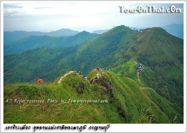 | ||
Points of interest Hin Dat Hot Spring, Vajiralongkorn Dam, Wat Tha Kha‑Nun, Pha Tat Waterfall, Baan E Tong | ||
Thong Pha Phum (Thai: ทองผาภูมิ) is a district (amphoe) in the northern part of Kanchanaburi Province, central Thailand.
Contents
Map of Thong Pha Phum District, Kanchanaburi, Thailand
History
At first Thong Pha Phum was the minor district (king amphoe) Sangkhla Buri, a subordinate of Wang Ka District. In 1939 the name Sangkhla Buri was assigned to Wang Ka, while the minor district was renamed Thong Pha Phum. On 20 May 1941 it was upgraded to a full district, while at the same time Sangkhla Buri was reduced to a minor district. It then consisted of the six tambon Tha Khanun, Hin Dat, Dika, Chalae, Pilok, and Linthin.
Geography
Neighboring are (from west clockwise) Tanintharyi Division of Myanmar, Sangkhla Buri, Umphang of Tak Province, Ban Rai of Uthai Thani Province, Si Sawat and Sai Yok of Kanchanaburi Province.
The important water resource is the Khwae Noi River.
Thong Pha Phum, Lam Khlong Ngu, Khuean Srinagarindra and Khao Laem National Parks are found in the district.
Administration
The district is divided into seven sub-districts (tambon), which are further subdivided into 44 villages (muban). Thong Pha Phum itself is a township (thesaban tambon) and covers parts of the tambon Tha Khanun. There are a further seven tambon administrative organizations (TAO).