
- elevation 130 m (427 ft) | - elevation 215 m (705 ft) | |
 | ||
- right Landsborough Creek, Darr River Similar Barcoo River, Australian Stockman's Hall of Fa, Qantas Founders Outback, Diamantina River, Lake Eyre basin | ||
The Thomson River is a perennial river that forms part of the Lake Eyre Basin, situated in the central west and western regions of Queensland, Australia. Much of the course of the river comprises a series of narrow channels synonymous with the Channel Country and the Gailee subregion.
The river was named in 1847 by the explorer, Edmund Kennedy, in honour of The Hon. Sir Edward Deas Thomson KCMG, CMG, the Colonial Secretary of New South Wales at the time of discovery.
Course and features
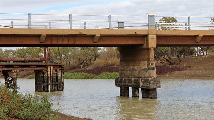
Draining the Alma Range, part of the western slopes of the Great Dividing Range, the northernmost headwaters of the river begin as Torrens Creek, inland from Charters Towers. The watercourse becomes the Thomson just north of the town of Muttaburra, where the channels of Landsborough Creek, Towerhill Creek and Cornish Creek meet. Aramac Creek joins the river from the east, south of Muttaburra and Maneroo Creek flows from the west, joining the Thomson south of Longreach. Just to the west of Longreach the river is crossed by the Landsborough Highway.
The river continues in a south westerly direction, passing the towns of Longreach, Stonehenge and Jundah, before reaching its confluence with the Barcoo River north of Windorah to form Cooper Creek. This is the only place in the world where the confluence of two rivers form a creek. From source to mouth, the Thomson is joined by 41 named tributaries over its 3,500-kilometre (2,200 mi) course.
As with all of the rivers in the Lake Eyre Basin, the waters of the Thomson never reach the sea, and instead either evaporate, or, in exceptional flood, empty into Lake Eyre. Floods are relatively common within the catchment because of the summer monsoon rains. Due to the flat nature of the country traversed, the river can then become many kilometres wide. For much of the time, however, the river does not flow, and becomes a line of billabongs, of which fifteen are named.
The area through which the river flows is semi-arid blacksoil plains. The main industries of the area are sheep and beef cattle.