
Country Bhutan Elevation 7,640 ft (2,330 m) Area 1,617 km² Population 13,744 (2015) | District Thimphu District Climate Cwb Capital Thimphu | |
 | ||
Clubs and Teams Transport United F.C., F.C. Tertons, Education, Social Service F.C., Finance Points of interest Tashichho Dzong, Motithang Takin Preserve, Paro Taktsang, Drukgyal Dzong, Rinpung Dzong | ||
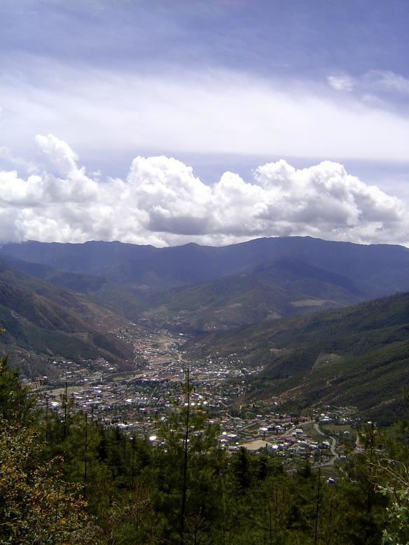
Thimphu District (Dzongkhag: ཐིམ་ཕུ་རྫོང་ཁག་; Wylie: Thim-phu rdzong-khag) is a dzongkhag (district) of Bhutan. Thimphu is also the capital of Bhutan and the largest city in the whole kingdom.
Contents
Map of Thimphu, Bhutan
Languages
The dominant language throughout the district is Dzongkha, however within the capital, nearly every language of Bhutan may be encountered.
Administrative divisions
Thimphu District is divided into eight gewogs and one town (Thimphu):
Lingzhi, Soe and Naro Gewogs belong to the Lingzhi Dungkhag subdistrict, the only subdistrict within Thimphu District. The remaining gewogs do not belong to any subdistrict.
Environment
The northern half of Thimphu District (the gewogs of Kawang, Lingzhi, Naro and Soe – corresponding roughly to Lingzhi Dungkhag) is subject to environmental protection, falling within Jigme Dorji National Park.