
Time zone GMT (UTC+0) | Capital Thiès Area 6,670 km² | |
 | ||
Départements ListM'bourThièsTivaoune Clubs and Teams Stade de Mbour, Mbour Petite-Côte FC Points of interest Somone Lagoon Reserve, casino terrou saly, Reserve Naturelle De Pope Destinations Saly, Nianing, Somone, M'Bour, Joal‑Fadiouth | ||
Thiès is a region of western Senegal. The capital is also called Thiès.
Contents
- Map of ThiC3A8s Senegal
- Geography
- History
- Administrative divisions
- Departments
- Communes
- Arrondissements
- Communauts rurales
- References
Map of Thi%C3%A8s, Senegal
Geography
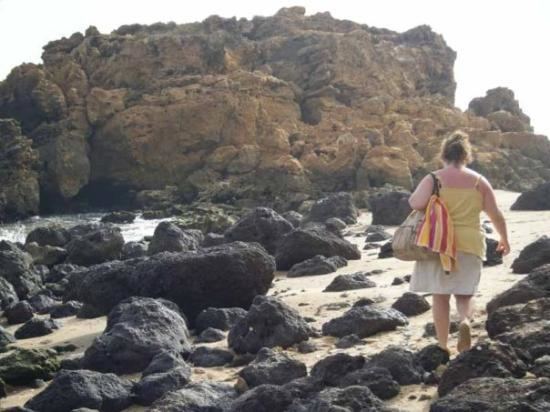
It has two coastlines, one in the north with the Grande Côte housing the Niayes vegetable market, one to the south with the Petite Côte, one of the tourist areas of Senegal.
Principally the main passageway between the peninsula and the rest of the country, the region of Thies has received a communication route connected to the first rail line and new road infrastructure.
Relatively small, yet it is the most populous region after the Dakar, with a population of 1,709,112 inhabitants at the end 2007.
The coastal communities dependent on fishing, growing crops and coastal tourism for subsistence. The interior of the region was the peanut basin. Phosphates are also mined there.
History
The Thiès Region has always been occupied by the Serer people since the ancient Serers and their ancestors. However, in the pre-colonial period, more so around the 16th century, the Wolof immigrants among others have settled in. Like the Fatick Region, the entire Thiès Region is strongly Serer and one of the most important of Serer country. It is also where many of the Serer sacred and historical sites are found. The area is well represented by the Cangin, a sub-group of the Serers, who had a fierce reputation for protecting their country from outsiders in precolonial times as well as during the colonial-era (see Timeline of Serer history and Serer medieval history).
Geographically, the region partially overlaps with the precolonial Kingdoms of Cayor and Baol. The Kingdom of Baol was ruled by the Joof family for several centuries until c 1549. During the colonial-era, its development was supported by the railway line - the Dakar-Saint-Louis railway in the late nineteenth century, and then with the Dakar-Niger railway. Thus Administratively, it is one of the oldest in the country.
Administrative divisions
Thiès region is divided into 3 departments (départements), 14 communes, 12 arrondissements, 32 communautés rurales and 3 communes d'arrondissement.
Departments
The region is divided into 3 departments as follows':
Communes
In M'bour:
In Thiès:
In Tivaouane:
Arrondissements
In M'bour:
In Thiès:
In Tivaouane:
Communautés rurales
In M'bour:
In Thiès:
In Tivaouane:
In 2003, the rural population was 769,884, grouped in 31 villages, in communautés rurales.