Time zone IST (UTC+5:30) Telephone code 04576 | PIN 623 711 Area code 04576 | |
 | ||
District | ||
Theriruveli is a village which belongs to the Muthukulathur Legislative Constituency in Ramanathapuram district of Tamil Nadu state in southern India. Theriruveli is divided by five main castes such as Devendra Kula Vellalars(Pallars)[East street]-20%, Devendra Kula Vellalars(Pallars)[West street]-15%, Muslims-25%, Idaiyans(yadavar)-30%Others-10%.here hindhus and Muslims are very unity to each other. The main occupation of the people agriculture, rearing sheep, miichy animals and many of the youngsters go to foreign for their earnings.
Contents
- Map of Theriruveli Tamil Nadu 623711
- Excavation at Theriruveli
- Civic Administration
- Transport
- References
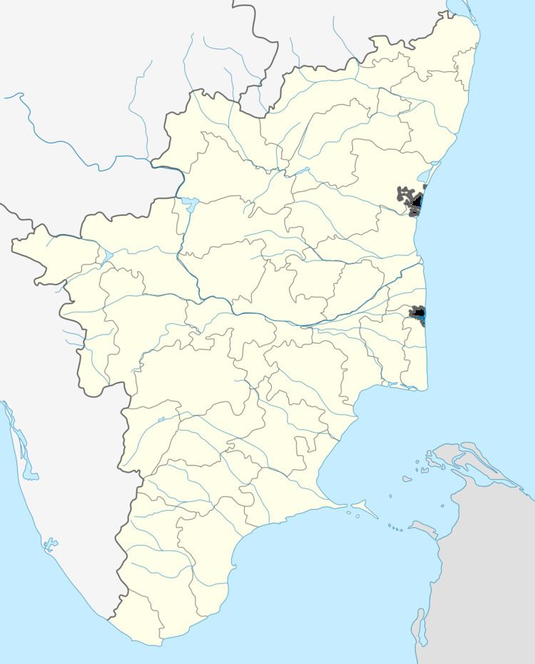
Map of Theriruveli, Tamil Nadu 623711
Thiru Uthira Kosamangai is an Ancient Temple 18 km away from Theriruveli. muthukulathur is 13 km away from theriruveli; pasumpon U.muthuramalinga devar born in 28 km away from theriruveli; paramakudi (Tamil actorkamalahasan born in) is 30 km away from theriruveli;
The famous Ervadi durgah of Qutb Al Hamid Gausul Majid Hazrat Sultan Syed Ibrahim Shahid Badusha Nayagam is located 20 km from Theriruveli.
Excavation at Theriruveli
The Department of Archaeology, Tamil Nadu, conducted excavation at Theriruveli village under A.Abdul Majeed, with the assistance of N.Marxia Gandhi, R.Selvaraj, S.Santhalingam and C.Chandravanan.
During the systematic excavation seven trenches, measuring 5 X 4 m were laid in order to expose the cultural habitation of this region at a site called ‘Colony Thidal’ of this village. The excavation revealed shreds of NBPW, coarse-red ware, blank ware, black-and-red ware, grey ware, Rouletted ware, russet-coated ware, shreds with graffiti symbol offish. Besides this, six inscribed shreds with Brahmi script were also recovered.It is interesting to note that the personal names Korran, Sattan, and Nedunkilli appear on the shreds. Objects like lids, hopscotch, spout, terracotta ring-stand, iron pieces, terracotta lamp, shell bangles, sawed conches, carnelian beads etc., were also recovered.
Source: The Archaeological Survey of India
Civic Administration
The Theriruveli village comes under Mudukulathur assembly constituency which is part of Ramanathapuram (Lok Sabha constituency).[2] Mudukulathur assembly constituency exists since first elections to the Indian parliament and Tamil Nadu [Madras] assembly. Since its formation the constituency has been represented in the assembly by members of Congress, Forward Bloc, DMK and AIADMK Parties.
The High Court Bench started functioning with effect from 24-07-2004 with the jurisdiction of the Districts of Kanniyakumari, Tirunelveli, Thoothukudi, Madurai, Dindigul, Ramanathapuram, Virudhunagar, Sivaganga, Pudukkottai, Thanjavur, Tiruchirappalli and Karur.
The nearest passport office is in Madurai which is covered districts of Madurai, Theni, Sivaganga, Virudhunagar, Ramanathapuram, Thoothukudi, Tirunelveli, Kanyakumari & Dindugul.
STATE - Tamil Nadu (TN)
DISTRICT - RAMANATHAPURAM (17)
BLOCK - Mudukulathur (007)
PANCHAYAT - Theriruveli (024)
Theriruveli panchayat consists of 1: Anikurunthan; 2: Chinnakaiayakam; 3: Elankakkur; 4: Keelapatcheri; 5: Melapatcheri; 6: Periakaiyakam; 7: Theriruveli; 8: Vadakkutheru
Transport
The only means of transportation is by Road using public transport services operated by state transport corporation and private players like Jayavilas, rajavel,c Murali,R.P.N and sakthi Transport companies. In the recent years, people use taxis and autos for local commute. this village is located centre of district can easily access all part of districts.bus services frequently available Ramanathapuram,muthukulathur,kamuthi,aruppukottai,viruthunagar,rajapalayam,paramakudi,sikkal,keelakarai. Ramanathapuram to Muthukulathur Road and sikkal to paramakudi intersect at theriruveli that place is called as "mukkuroad"
