
State Andhra Pradesh Time zone IST (UTC+5:30) | ||
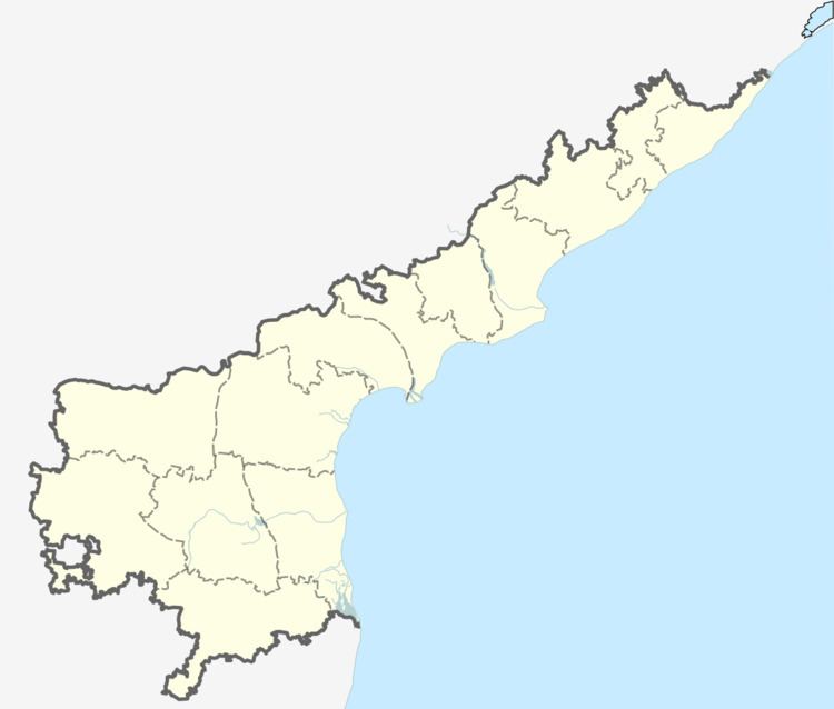 | ||
Theratpally is a village in Nalgonda district in the state of Andhra Pradesh, India.
Contents
- Map of Theratpally Telangana 508253
- Geography
- Demographics
- Industries
- Temples
- Schools Colleges in Theratpally
- Cinema Theaters
- References
Map of Theratpally, Telangana 508253
Geography
Theratpally is located at 17.0530818°N 78.9402866°E / 17.0530818; 78.9402866.
Demographics
As of 2001 India census, Theratpally had a population of -,---. Males constitute 50% of the population and females 50%. Theratpally has an average literacy rate of 62%, higher than the national average of 59.5%; with male literacy of 73% and female literacy of 51%. 14% of the population is under 6 years of age.
Industries
Agriculture is the major source of income to people living in and around Theratpally.
Temples
Theratpally has got culture rich temples. PEDDAMMA GUTTA (there are nine temples in one place only)
peddamma templeChennakeshava TempleVishnu Temple (old temple)Birappa TempleHanuman Templesaai bba TempleMallikarjuna swamy TempleGodadevi templeGanesh templeVILLAGE TEMPLES:
Schools & Colleges in Theratpally
Government Primary SchoolCinema Theaters
There are no theaters
References
Theratpally Wikipedia(Text) CC BY-SA