
Pop. density 34 /km (88 /sq mi) Vehicle registration EM Max length 5.7 km Island group Cyclades | Population 319 (2011) Postal code 847 02 Area 9.3 km² Area code 22860 | |
 | ||
Similar Nea Kameni, Imerovigli, Akrotiri, Paléa Kaméni, Santorini caldera | ||
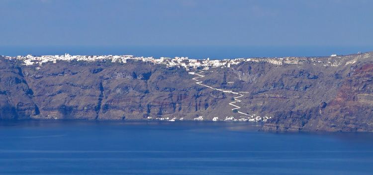
Therasia, also known as Thirasía (Greek: Θηρασία), is an island in the volcanic island group of Santorini in the Greek Cyclades. It lies north-west of Nea Kameni, a small island formed in recent centuries by volcanic activity and thus marking the centre of the island group. Therasia is the second largest island of the group, the largest by far being Thera.
Contents
Map of Therasia, Ia 847 02, Greece
Therasia has a land area of 9.299 square kilometres (3.590 sq mi) and its population was 319 inhabitants at the 2011 census. It is part of the municipal unit of Oia (Δημοτική Ενότητα Οίας).
Thera and Therasia were separated by the Thera eruption.
At Knossos, in a LMIIIA context (14th century BC), seven Linear B texts while calling upon "all the gods" make sure to grant primacy to an elsewhere-unattested entity called qe-ra-si-ja and, once, qe-ra-si-jo. However this probably refers to a god or a person rather than to an island *Qherasia > Therasia.
Thirasia is also the book of Greek poet Dimitris Varos that became a music album and theatrical performance by Greek composer Giannis Markopoulos under the title Daring Communication - Electric Theseus.