
Area 8 km² | Local time Thursday 3:20 AM | |
 | ||
Weather 11°C, Wind SE at 11 km/h, 76% Humidity | ||
Thennes is a commune in the Somme department in Hauts-de-France in northern France.
Contents
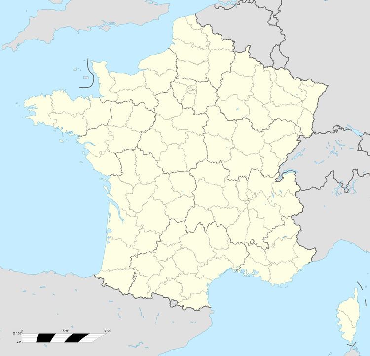
Map of 80110 Thennes, France
Geography
Thennes is situated 12 miles (19 km) southeast of Amiens, on the D11a road and bordered to the north and northwest by the river Luce, and to the west by the river Avre
History
Known as Tanes in 1128, because of the tanneries in the area, it became known as Thannes then Thannes-Thennes in 1507.
The history of Thennes has always been closely linked with that of the neighbouring commune of Berteaucourt-les-Thennes.
From 780, Thennes was the property of the abbey at Corbie, later, as a fiefdom, it passed to the seigneurs of Boves, before returning to Corbie in the 13th century.
Thennes has seen more than its fair share of war:
References
Thennes Wikipedia(Text) CC BY-SA