
Country United States FIPS code 31-48760 Area 60 ha Zip code 69166 Local time Wednesday 6:30 PM | Time zone Central (CST) (UTC-6) GNIS feature ID 0835692 Elevation 871 m Population 204 (2013) Area code 308 | |
 | ||
Weather 8°C, Wind NE at 24 km/h, 74% Humidity | ||
Thedford is a village in Thomas County, Nebraska, United States. The population was 188 at the 2010 census. It is the county seat of Thomas County.
Contents
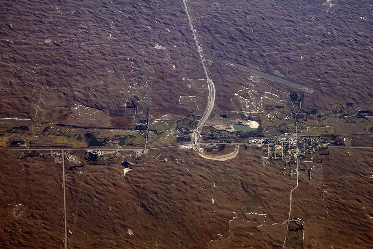
Map of Thedford, NE 69166, USA
History
Thedford was established in 1887 when the Chicago, Burlington and Quincy Railroad was extended to that point, at which time the new town was designated county seat. It was likely named after Thedford, Ontario, Canada. Thedford was incorporated as a village in 1914.
Geography
Thedford is located at 41°58′44″N 100°34′30″W (41.978846, -100.574959).
According to the United States Census Bureau, the village has a total area of 0.23 square miles (0.60 km2), all of it land.
2010 census
As of the census of 2010, there were 188 people, 93 households, and 52 families residing in the village. The population density was 817.4 inhabitants per square mile (315.6/km2). There were 118 housing units at an average density of 513.0 per square mile (198.1/km2). The racial makeup of the village was 100.0% White. Hispanic or Latino of any race were 0.5% of the population.
There were 93 households of which 21.5% had children under the age of 18 living with them, 47.3% were married couples living together, 3.2% had a female householder with no husband present, 5.4% had a male householder with no wife present, and 44.1% were non-families. 43.0% of all households were made up of individuals and 15.1% had someone living alone who was 65 years of age or older. The average household size was 2.02 and the average family size was 2.69.
The median age in the village was 44.7 years. 21.8% of residents were under the age of 18; 7% were between the ages of 18 and 24; 22.2% were from 25 to 44; 26% were from 45 to 64; and 22.9% were 65 years of age or older. The gender makeup of the village was 46.8% male and 53.2% female.
2000 census
As of the census of 2000, there were 211 people, 101 households, and 65 families residing in the village. The population density was 865.9 people per square mile (339.4/km²). There were 126 housing units at an average density of 517.1 per square mile (202.7/km²). The racial makeup of the village was 99.53% White, and 0.47% from two or more races. Hispanic or Latino of any race were 2.37% of the population.
There were 101 households out of which 22.8% had children under the age of 18 living with them, 58.4% were married couples living together, 5.0% had a female householder with no husband present, and 34.7% were non-families. 33.7% of all households were made up of individuals and 16.8% had someone living alone who was 65 years of age or older. The average household size was 2.09 and the average family size was 2.65.
In the village, the population was spread out with 17.5% under the age of 18, 6.2% from 18 to 24, 25.6% from 25 to 44, 27.5% from 45 to 64, and 23.2% who were 65 years of age or older. The median age was 46 years. For every 100 females there were 111.0 males. For every 100 females age 18 and over, there were 89.1 males.
As of 2000 the median income for a household in the village was $29,583, and the median income for a family was $44,063. Males had a median income of $30,500 versus $20,938 for females. The per capita income for the village was $18,300. None of the families and 0.9% of the population were living below the poverty line, including no under eighteens and 3.4% of those over 64.