
OS grid reference TF474890 Country England Post town MABLETHORPE Shire county Lincolnshire District East Lindsey | Region East Midlands Sovereign state United Kingdom Postcode district LN12 Local time Thursday 12:29 AM UK parliament constituency Louth and Horncastle | |
 | ||
Weather 12°C, Wind S at 24 km/h, 90% Humidity | ||
Mollie brac on theddlethorpe beach
Theddlethorpe comprises two close villages and civil parishes, Theddlethorpe St Helen, and Theddlethorpe All Saints, in the East Lindsey district of the county of Lincolnshire, England. These two villages have operated as one entity for many years. They are situated approximately 3 miles (5 km) north from Mablethorpe and on the coast of the North Sea.
Contents
- Mollie brac on theddlethorpe beach
- Map of Theddlethorpe Mablethorpe UK
- Theddlethorpe All Saints
- Theddlethorpe St Helen
- References
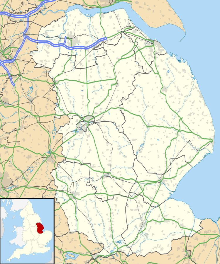
Map of Theddlethorpe, Mablethorpe, UK
The National Grid-owned Theddlethorpe Gas Terminal processes natural gas extracted from beneath the North Sea for use in the UK.
A section of the seashore of the village is part of the Saltfleetby-Theddlethorpe Dunes National Nature Reserve, which comprises sea dunes and both saltwater and freshwater marshes. The reserve is one of only five locations in the UK where the natterjack toad can be found.
Theddlethorpe St Helen has a primary school.
Theddlethorpe All Saints
53.370989°N 0.198730°W / 53.370989; -0.198730
Located about 8 miles (13 km) east from the town of Louth. Population according to the 2001 census was 212, decreasing to 165 at the 2011 Census.
The parish church is dedicated to All Saints and is a Grade I listed building dating from the 12th century, with 1380–1400 and late 17th-century alterations, and minor repairs in 1865-66. It was built of greenstone and limestone and has a 15th-century font. At the west end is preserved the 15th-century wooden pinnacle from the tower roof. In the south aisle chapel is a brass to Sir Robert Hayton who died in 1424. Nearby is the matrix for a double brass of which only one brass shield remains. In the chancel are two early 18th-century marble wall plaques to members of the Newcomen family. A marble monument to Charles Bertie and his wife Mary died 1727, made by Andrew Carpenter, London. All Saints was declared redundant by the Diocese of Lincoln in 1973 and it is now in the care of the Churches Conservation Trust.
Hall Farmhouse is a Grade II listed 16th-century red-brick house, altered about 1680 with more alterations in the late 18th and 19th centuries.
Within the parish there is a medieval moat, extant in 1963 but now only visible as cropmarks. A hearth tile bearing the arms of the Angevin family was found when excavation took place in the moated enclosure near Theddlethorpe All Saints church. The house within the moat was called Keleshall.
Theddlethorpe St Helen
53.3714000°N 0.2231001°W / 53.3714000; -0.2231001
Village and parish in Louth district 9 miles (14 km) east from Louth. with a population according to the 2001 census of 595, reducing to 525 at the 2011 Census.
The parish church is a Grade II* listed building dedicated to Saint Helen and dating from the 14th and 15th centuries. The chancel and aisles were rebuilt by Samuel Sanders Teulon in 1866. The church is of greenstone and limestone, with a 15th-century tower, a 14th-century font, and a 19th- to 20th-century interior.
Theddlethorpe Hall or The Hall, is a Grade II listed red-brick country house from the late 17th century, with early 18th- and 19th-century alterations. The Stable Block is also Grade II listed and dates from the 19th century.
Theddlethorpe railway station was a railway station on the Louth and East Coast Railway, opened in 1877, and closed 1960.