
Country United States ZIP code 41240 Elevation 189 m | Time zone Eastern (EST) (UTC-5) GNIS feature ID 509201 Local time Wednesday 6:09 PM | |
 | ||
Weather 19°C, Wind N at 8 km/h, 56% Humidity | ||
Thealka is an unincorporated community in Johnson County, Kentucky, United States. It was created by the North East Coal Company in 1906 and was originally called Muddy Branch. In 1911, it was renamed "Thealka" after the steamboat known by the same name. Both the community and the steamboat were named after John C.C. Mayo's wife, Alice Jane Mayo, who was given the nickname "Alka". Thealka is in the 41240 ZIP Code Tabulation Area, which includes the nearby city of Paintsville.
Contents
Map of Thealka, KY 41240, USA
Geography
Thealka has an elevation of 620 feet above sea level.
Education
Most students residing in Thealka attend:
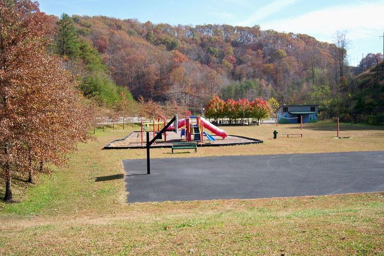
Attractions
Thealka boasts Johnson County Park and Recreational Area, more commonly known as Thealka Park. The park features a playground, an outdoor basketball court, an outdoor volleyball court, walking trails, two baseball fields, and two picnic shelters.