
Country United States FIPS code 30-73760 Elevation 1,174 m Population 506 (2010) | Time zone Mountain (MST) (UTC-7) GNIS feature ID 2583858 Area 13.3 km² Area code 406 | |
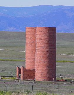 | ||
The Silos is a census-designated place (CDP) in Broadwater County, Montana, United States. The population was 506 at the 2010 census.
Geography
The Silos is located along the west shore of Canyon Ferry Lake, a reservoir on the Missouri River. U.S. Route 12/287 runs through the CDP, leading 5 miles (8 km) southeast to Townsend, the Broadwater County seat, and 28 miles (45 km) northwest to Helena, the state capital.
According to the United States Census Bureau, the CDP has a total area of 5.1 square miles (13.3 km2), all of it land.
References
The Silos, Montana Wikipedia(Text) CC BY-SA