
 | ||
House show the rumps
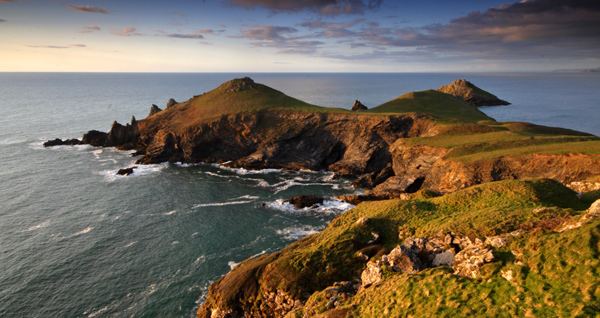
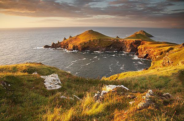
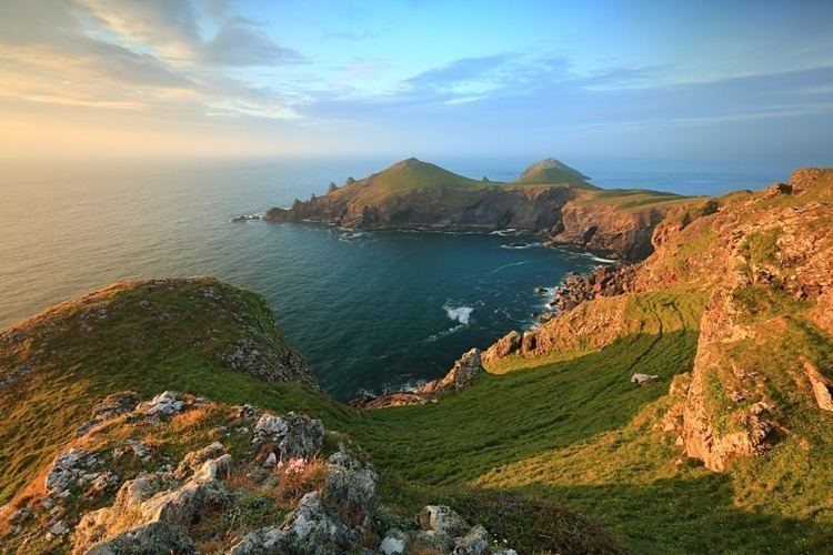
The Rumps (Cornish: Din Pentir, meaning fort at Pentire) (grid reference SW 934 810) is a twin-headland promontory at the north-east corner of Pentire Head in north Cornwall, United Kingdom.
Contents
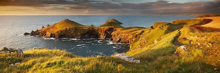
The promontory is formed from hard basaltic rock (see also Geology of Cornwall) and projects north into the Atlantic Ocean. Its headlands lie east-to-west. A small offshore island named The Mouls lies off the eastern headland; the western headland is named Rumps Point.
Access to The Rumps is via the South West Coast Path from Polzeath or by an inland public footpath from the car park at Pentire Farm. The entire Pentire headland, including The Rumps, is under the stewardship of the National Trust. Sightseeing boat tours regularly sail around The Rumps from the nearby port of Padstow.
Iron Age fort
The Rumps is the site of an Iron Age promontory fort. The fort was the subject of an archeological survey and the findings were published in 1974 in Cornish Archaeology, 13, pp 5-50. The twin headlands are linked to the mainland by a narrow neck making The Rumps a formidably defensive site.
Three ramparts (banks and ditches) span the narrowest part of the promontory. These date from the late Iron Age and were once topped by wooden palisades; the earthworks remain clearly visible to walkers.
For The Fallen
The poet Laurence Binyon wrote For the Fallen in 1914 while sitting on the cliffs between Pentire Point and The Rumps. A stone plaque was erected at the spot in 2001 to commemorate the fact. The plaque bears an inscription which reads For The Fallen composed on these cliffs 1914 and quotes the stanza popularly known as The Ode.
