
 | ||
Similar Raphael Rooms, Cortile del Belvedere, Borgia Apartments, Vatican Museums, Musée Pio‑Clementino | ||
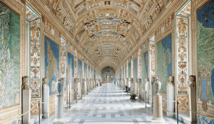
The gallery of maps vatican museums vatican city italy
The Gallery of Maps (Italian: Galleria delle carte geografiche) is a gallery located on the west side of the Belvedere Courtyard in the Vatican containing a series of painted topographical maps of Italy based on drawings by friar and geographer Ignazio Danti.
Contents
- The gallery of maps vatican museums vatican city italy
- The gallery of maps in vatican
- Design
- Other decorations
- References
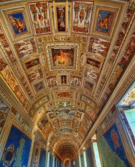
The gallery was commissioned in 1580 by Pope Gregory XIII as part of other artistic works commissioned by the Pope to decorate the Vatican. It took Danti three years (1580–1583) to complete the 40 panels of the 120 m long gallery.
The gallery of maps in vatican
Design
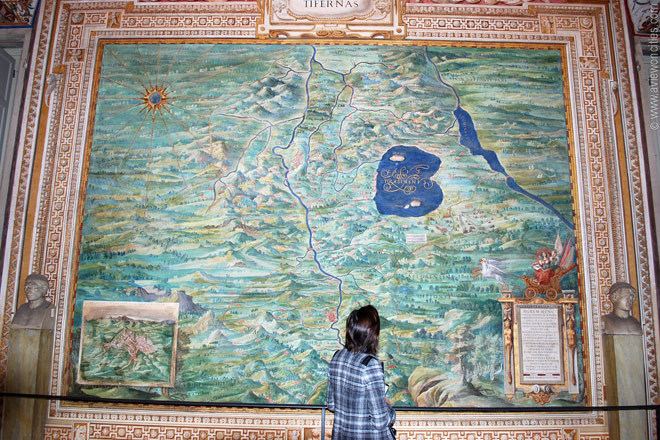
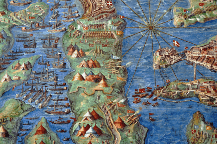
The panels map the entirety of the Italian peninsula in large-scale frescoes, each depicting a region as well as a perspective view of its most prominent city.
With the Apennines as a partition, one side depicts the regions surrounded by the Ligurian and Tyrrhenian Seas and the other depicts the regions surrounded by the Adriatic Sea.
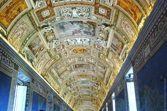
Other decorations
The decorations on the vaulted ceiling are the work of a group of Mannerist artists including Cesare Nebbia and Girolamo Muziano.