Topo map NTS 92G/11 Prominence 40 m | Elevation 510 m Mountain range Pacific Ranges | |
 | ||
Volcanic arc/belt Canadian Cascade ArcGaribaldi Volcanic Belt Similar Bridge River Vent, Slag Hill, Monmouth Creek complex, Pyroclastic Peak, Watts Point volcanic centre | ||
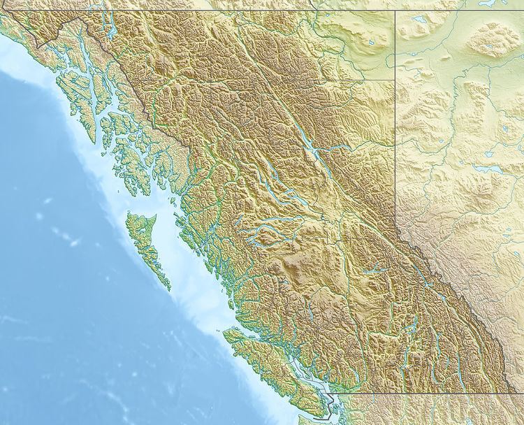
The Castle is a lava spine located west of Squamish in southwestern British Columbia, Canada. Volcanism at The Castle is controlled by north-south structures and there are no hot springs known in the area. It forms part of the Monmouth Creek complex and is part of the Garibaldi Volcanic Belt which is a segment of the Cascade Volcanic Arc.
References
The Castle (volcano) Wikipedia(Text) CC BY-SA
