
Time zone CST (UTC−6) | Area code(s) 306, 639 | |
 | ||
Highways Hwy 16 (TCH) Hwy 4 Hwy 29 Hwy 40 | ||
The Battlefords is the collective name given to the adjacent communities of the City of North Battleford and the Town of Battleford in west-central Saskatchewan, Canada. As of the 2011 census, the two communities have a combined population of 17,953 and a total regional population of 19,949.
Contents
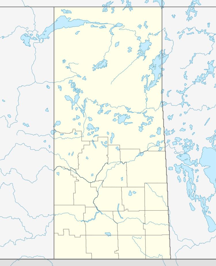
Map of Battleford, SK, Canada
The Battlefords are served by the Highway 16 (Yellowhead Highway), Highway 4, Highway 29, and Highway 40 (Poundmaker Trail).
North Battleford CA
Census agglomerations (CA) is the term Statistics Canada uses to determine the demographics of urban areas with a population between 10,000 and 100,000 people. The North Battleford CA includes the North Battleford, Battleford, Rural Municipality of Battle River No. 438, and the Sweet Grass Indian Reserve No. 113-M16. The Rural Municipality of North Battleford No. 437, which encompasses the City of North Battleford, is not included as part of the North Battleford CA.
List of Municipalities
The following is a list of municipalities in The Battlefords.