
Country Burma | Time zone MST (UTC+6.30) | |
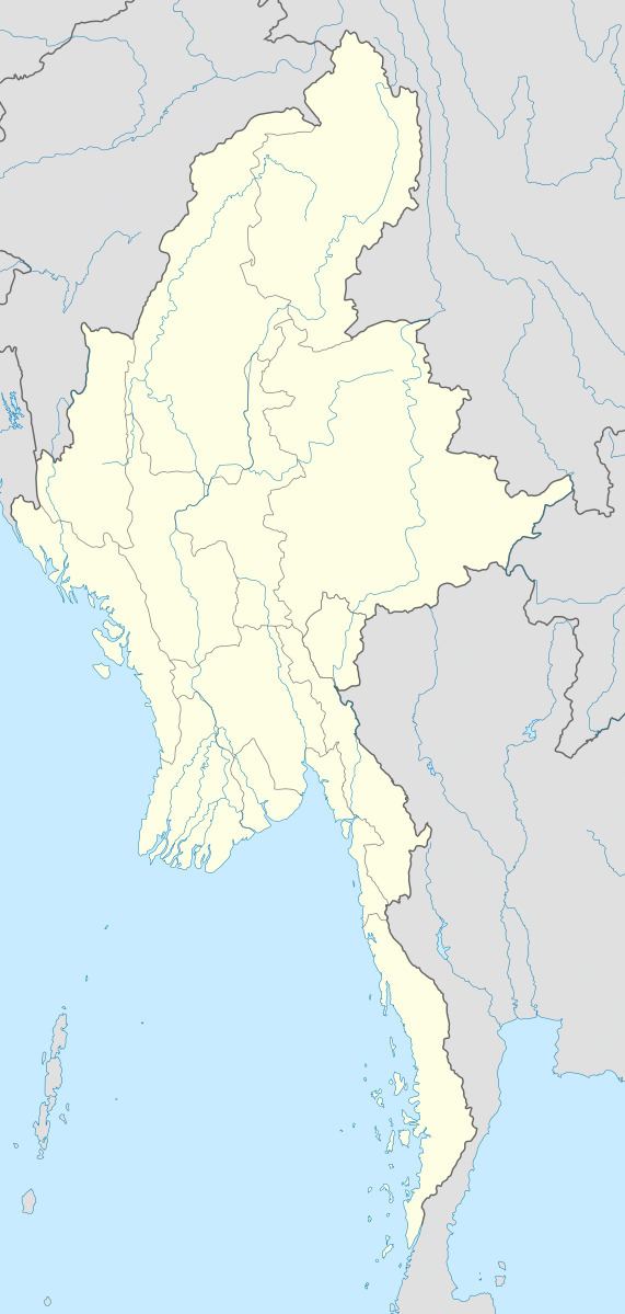 | ||
Thayet Township (Burmese: သရက်မြို့နယ်) is a township of Thayet District in the Magway Region of Burma (Myanmar). It lies on the west side of the Irrawaddy. The major town and administrative center is Thayet. Notable peaks are Mount Myinba (1688 ft.) and Mount Myinmagyi (1032 ft.).
Contents
Bounds
Thayet Township is bordered by the following townships:
Villages
Among the many villages and wards (village census tracts) in Thayet Township are Banbyin, Kobin, Kyaukaing, Pyaye, Ta La Bar, Talabasan, Ton, and Yebyu.
References
Thayet Township Wikipedia(Text) CC BY-SA