Samiksha Jaiswal (Editor)

Thaumiers

Updated on
Edit
Like
Comment
Share on FacebookTweet on TwitterShare on LinkedInShare on Reddit
Country
  
France

Department
  
Cher

Time zone
  
CET (UTC+1)

Area
  
27.33 km²

Arrondissement
  
Saint-Amand-Montrond

Region
  
Centre-Val de Loire

Canton
  
Charenton-du-Cher

INSEE/Postal code
  
18261 /18210

Population
  
382 (1999)

Thaumiers httpsuploadwikimediaorgwikipediacommonsthu

Thaumiers is a commune in the Cher department in the Centre region of France.

Contents

Map of 18210 Thaumiers, France

Geography

An area of forestry and farming comprising the village and several hamlets situated about 21 miles (34 km) southeast of Bourges at the junction of the D41 with the D92 and D943 roads. The Auron River forms the western and southern boundaryies of the commune.

Sights

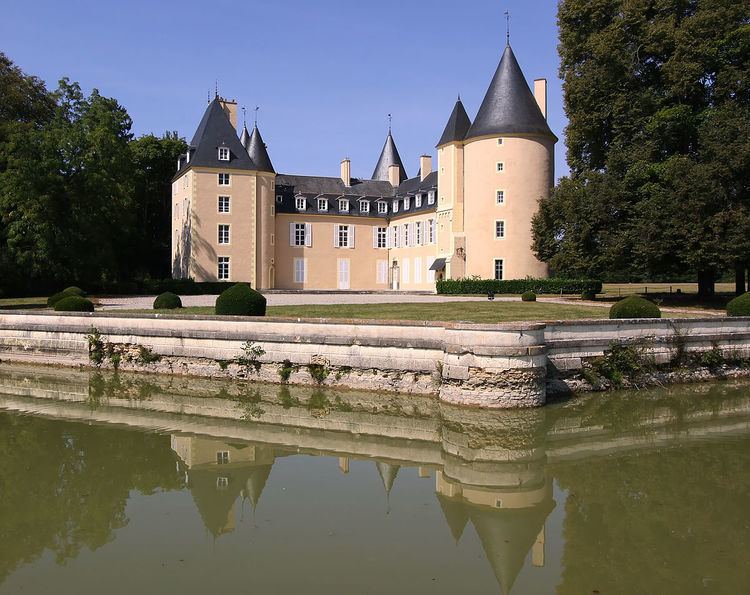
  • The eighteenth-century chateau of Thaumiers.
  • The church of St. Saturnin, dating from the twelfth century.
  • Some Roman remains: walls, tombs, vases, sculptures and an aqueduct.
  • The fifteenth-century chateau of La Forêt.
  • Ruins of the priory of Grandmont at Fontguédon.
  • References

    Thaumiers Wikipedia