Country Pakistan Time zone PST (UTC+5) Area 19,638 km² Province Sindh | Headquarters Mithi Website Tharparker District Population 2.265 million (2015) | |
 | ||
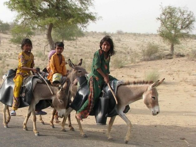
Tharparkar District (Sindhi: ضلعو ٿرپارڪر, Urdu: ضِلع تهرپاركر), is one of the twenty nine districts of Sindh province in Pakistan. It is headquartered at Mithi. It has the lowest Human Development Index of all the districts in Sindh.
Contents
Map of Tharparkar District, Pakistan
Religion
According to the 1998 census, Muslims constitute 61.42% of the population and Hindus 35.58% At the time of the independence of Pakistan in 1947, the Hindus were 80% while the Muslims were 20% of the population. In the years 1965 and 1971, population exchanges took place in the Thar between India and Pakistan. Thousands of Hindus (particularly the upper castes and their retainers) migrated from Pakistani Thar to the Indian section of the Thar. 3,500 Muslim families also shifted from the Indian section of the Thar to Pakistani Thar. The Muslim families were given 12 acres of land each (a total of 42,000 acres).
Administration
It is divided into 7 Talukas (tehsils):
