Area 4.8 km (1.9 sq mi) Country England Local time Thursday 2:37 PM District City of Canterbury UK parliament constituency City of Canterbury | Region South East Sovereign state United Kingdom Shire county Kent Dialling code 01227 | |
 | ||
Population 2,662 (Civil Parish 2011) Civil parish Thanington Without (Civil) Parish Council Weather 18°C, Wind S at 19 km/h, 57% Humidity | ||
Thanington Without is a civil parish and Community in Canterbury, Kent, United Kingdom. It extends to the south-west of A2 to the Milton Bridge.
Contents
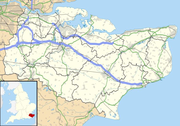
Map of Thanington Without, UK
The north ward of Thanington Without follows the River Stour nearest to the city and London railway line, it has private housing north of Ashford Road and a large estate of mixed housing south of Ashford Road. The South ward of Thanington Without is a linear settlement along New House Lane, New House Close and Iffin Lane.
Transport
As with Canterbury, transport is neither urban super-highway nor rural back lanes in relation to the rest of Kent. An on-slip road was opened in September 2011 onto the westbound A2. Previously (since the A2 Canterbury bypass was constructed in the early 1980s), the two slip roads at Thanington were east-facing and led only to and from Dover. In 2006, the Government, the Highways Agency, Kent County Council and Canterbury City Council agreed that adding the two west-facing slip-roads would help to ease the traffic congestion in Wincheap between the Westgate and the A2. The fourth slip-road is still awaiting funding and construction.
