
Country Vietnam Capital La Phù Area 124 km² Local time Thursday 8:32 PM | Region Northeast Time zone UTC + 7 (UTC+7) Province Phu Tho Province | |
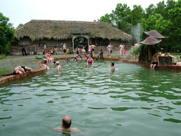 | ||
Weather 25°C, Wind E at 14 km/h, 89% Humidity Points of interest Du Lịch Đảo Ngọc Xanh, thanh lâm resort, Vườn Cây Bác Hồ | ||
Thanh Thủy is a rural district of Phú Thọ Province in the Northeast region of Vietnam. As of 2003, the district had a population of 76,330. The district covers an area of 124 km². The district capital lies at La Phù.
Contents
Map of Thanh Th%E1%BB%A7y, Phu Tho Province, Vietnam
Administrative divisions
Thanh Thủy, Xuân Lộc, Thạch Đồng, Tân Phương, La Phù, Bảo Yên, Đoan Hạ, Sơn Thủy (Son Vi, Thuy Tram, Phu Lao), Hoàng Xá, Trung Thịnh, Đồng Luận, Trung Nghĩa, Phượng Mao, Yến Mao, Tu Vũ and Đào Xá.
References
Thanh Thủy District Wikipedia(Text) CC BY-SA