
Country Vietnam Capital Thanh Hà Area 159 km² Local time Thursday 8:28 PM | Region Red River Delta Time zone UTC + 7 (UTC+7) Province Hải Dương Province | |
 | ||
Weather 23°C, Wind SE at 13 km/h, 99% Humidity | ||
Thanh Hà is a rural district of Hải Dương Province in the Red River Delta region of Vietnam.
Contents
- Map of Thanh HC3A0 Hai Duong Vietnam
- Demographics
- Geography and climate
- Electricity
- Water
- Transportation
- Telecommunications
- Tourism
- Historical figures
- Specialties
- References
Map of Thanh H%C3%A0, Hai Duong, Vietnam
Demographics
As of 2003 the district had a population of 162,166, up from 161,517 in 2002. The district covers an area of 159 km². The district capital lies at Thanh Hà.
In 2002, the number of people who were economically active accounted to 88,082 people. Agriculture, industry and construction forms 84%, 9% and 7% of the workforce respectively.
Geography and climate
This district is located in the southeast province of Hải Dương, it borders Nam Sách District to the north, Kim Thành District to the east, Hai Phong city to the south, and to the west with Hải Dương city. The district has 24 communes and 1 town.
The district is divided into 4 subdistricts of Ha Nam, Ha Dong, Ha Tay and Ha Bac.
Hanam including 6 communes: Thanh Xuan, Thanh Thuy, Thanh Son, Thanh Xa, Thanh Khe, Thanh Ha town Ha Bac including 7 communes: Thanh An, Thanh Lang, Hong Viet, Lac Hong, Tan Viet, prohibitive, Contact Mac Ha Dong commune including 6: Truong Thanh, Vinh Lap, Thanh Binh, Thanh Hong, Cuong Thanh, Duc Co Ha Tay commune consists of 6: Tien Tien, Thanh Hai, Tan An, Phuong Hoang, An Luong, Quyet Thang
Nature of land and terrain of the district bearing the characteristic topographical alluvium of Thái Bình River. Higher than sea level on average is 0.60 m.
Climate in Thanh Hà is typically tropical monsoon, with sufficient conditions to develop a thriving agriculture. Thanh Hà District has many large rivers and surrounded, so there is plentiful water to serve both agricultural and residential activities. Land in Thanh Hà is shaped by its many rivers, fruit trees are very common. Total natural area is 15,892 ha, of which agricultural land occupies 11,278 hectares, some 71%. In agricultural land, 57% of the land area is fruit trees.
Electricity
The district has 3 sources of power from 3 district stations 110 kV. The district has 64 transformer stations with machine transformer 70, the total capacity 20,740 kVA. 100% power in living with the 99% households use electricity activities.
Water
More than 85% farmers of the district used for water sanitation. Many households are not using water for sanitation. There are some in Thanh Hà town, and some in Hong Lac commune, Viet Hong, Thanh An.
Transportation
The district has provincial road management covering 23.6 km (100%), district roads reached 70%, 441 km of multi-level road, 89 km concrete road, 42 km brick road. Thanh Hà and its many rivers produce favorable conditions for development of waterway traffic.
Telecommunications
Presently the district has 3,482 telephones.
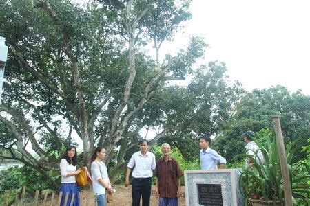
Tourism
The district has 83 historic temples, pagodas, temples, of which 12 monuments are state ranked.
Historical figures
Specialties
Specialties: lychee, sapodilla, guava ... famous in Vietnam.