
Population 829 (2006 census) Postcode(s) 4716 Mean max temp Mean min temp Founded 1925 Local time Thursday 11:25 PM | Established 1925 Elevation 192 m Postal code 4716 | |
 | ||
Location 591 km (367 mi) NW of Brisbane177 km (110 mi) S of Rockhampton142 km (88 mi) SW of Gladstone14 km (9 mi) S of Biloela76 km (47 mi) NW of Monto Weather 24°C, Wind SW at 19 km/h, 71% Humidity | ||
Thangool /ˈθæŋɡuːl/ is a town in central Queensland, Australia. The town is in the Banana Shire local government area, 591 kilometres (367 mi) north west of the state capital, Brisbane and 12 kilometres (7.5 mi) south of the Shire administrative centre, Biloela. The name "Thangool" means "Possum". At the 2011 census, Thangool had a population of 829.
Contents
Map of Thangool QLD 4716, Australia
History
The Thangool area was originally home to the Gangulu Aboriginal people. European settlement in Australia in the area began with the Archer brothers who, on advice from the explorer Ludwig Leichhardt, set out from Eidsvold on the Burnett River to explore the area to the north in 1853, eventually reaching the Fitzroy River. Speculative ventures followed in the 1850s and 1860s, originally tentative attempts at sheep raising, but soon turning to cattle. The town was surveyed in 1925 and primitive shops constructed from corrugated iron and logs were established soon after. The Callide Valley railway line was extended to Thangool in 1925, before its final extension to Lawgi in 1931. A primary school was opened on 5 April, 1927. By the 1930s, a cotton boom had allowed the town to support two hotels, two butchers, two bakers, a picture theatre, a cordial factory, a blacksmith and a bank.
Education
Thangool State School is a coeducational school catering for students from Prep - Year 6. At the time of their 2015 Annual Report, Thangool State School had 115 students enrolled. Thangool State School has an active Facebook page.
Economy
Dryland farming in the area produces mainly sorghum and wheat but also some sunflower, mung beans and barley. Irrigated crops produced include cotton and lucerne as well as wheat and sorghum. A Thangool business, Queensland Squab Processors, supply 60 per cent of the Australian market for squab while a new business producing herbs for the food service industry was developed recently.
Facilities
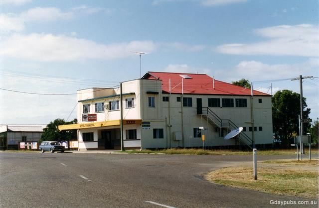
Local businesses include two hotels; the Red Steer Hotel and the Hotel Thangool, a service station, post office, carpenters, welders, primary school and an aircraft refuelling business.
The Thangool Airport services the Banana Shire area and the Thangool racecourse is one of the largest racecourses in the area.
Attractions
Nearby Mount Scoria, a rare rock formation rising 150 metres (490 ft) above the surrounding plain, was an active volcano 20 to 26 million years ago. The mountain features impressive basalt columns formed by cooling lava. Despite its name the mountain features very little scoria, with most of the mountain made up of vesicular basalt.
Events
The Thangool Cup Races is an annual horse racing event held in September. Each November there is a Christmas market.