
PIN 457777 Elevation 271 m Local time Thursday 6:41 PM | Time zone IST (UTC+5:30) Vehicle registration MP Population 25,000 (2001) ISO 3166 code ISO 3166-2:IN | |
 | ||
Weather 37°C, Wind W at 11 km/h, 16% Humidity | ||
Thandla is a town and a Nagar Parishad in Jhabua district in the Indian state of Madhya Pradesh.
Contents
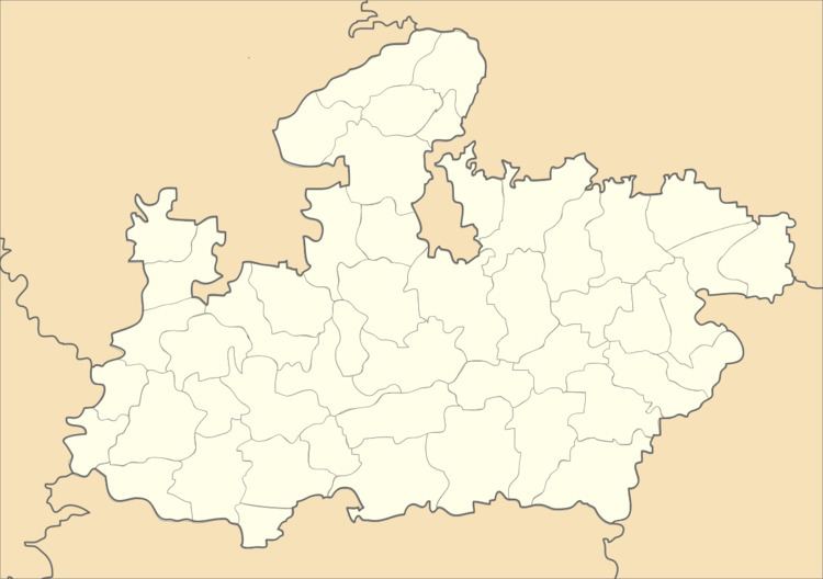
Map of Thandla, Madhya Pradesh 457777
Geography
Thandla is located at 23.0°N 74.57°E / 23.0; 74.57. It has an average elevation of 271 metres (889 feet).
Demographics
At the 2001 India census, Thandla had a population of 12,685. Males constituted 52% of the population and females 48%. Thandla had an average literacy rate of 73%, higher than the national average of 59.5%: male literacy was 80%, and female literacy 66%. 14% of the population were under 6 years of age.
References
Thandla Wikipedia(Text) CC BY-SA