
Country Thailand Seat Tham Phannara Postal code 80260 Area 169.1 km² | Province Nakhon Si Thammarat Time zone THA (UTC+7) Geocode 8018 Population 17,315 (2005) | |
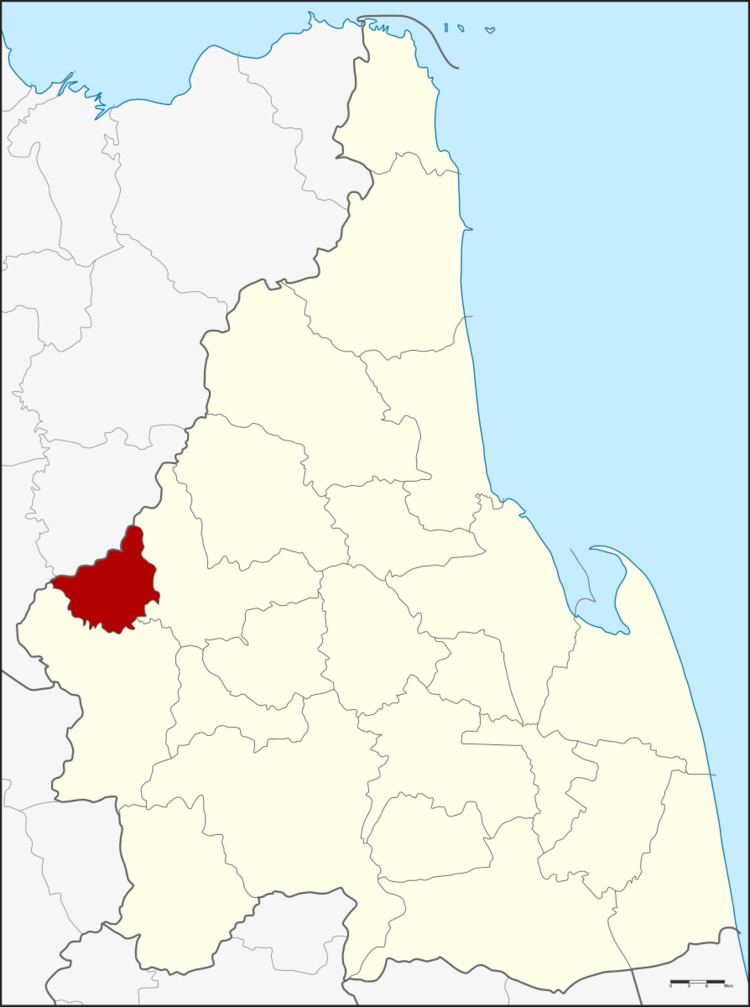 | ||
Tham Phannara (Thai: ถ้ำพรรณรา) is a district (Amphoe) of Nakhon Si Thammarat Province, southern Thailand.
Contents
Map of Tham Phannara District, Nakhon Si Thammarat, Thailand
Geography
Neighboring districts are (from the east clockwise) Chawang and Thung Yai of Nakhon Si Thammarat, and Phrasaeng and Wiang Sa of Surat Thani Province.
History
The district was created as a minor district (King Amphoe) on April 1, 1990, when the two tambon Tham Phannara and Khlong Se were split off from Chawang district. A first temporary district office was within Wat Tham Phannara, until the current office building was opened on October 4, 1993. On September 7, 1995 the minor district was upgraded to a full district.
Administration
The district is subdivided into 3 subdistricts (tambon), which are further subdivided into 29 villages (muban). There are no municipal (thesaban) areas, and 3 Tambon administrative organizations (TAO).